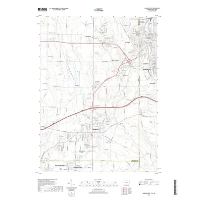
2019 Map of Sharon West
USGS Topo · Published 2019About this map
The Sharon and Farrell corridor along the Shenango River anchors the eastern edge of this borderland survey, where the industrial heritage of Pennsylvania meets the suburban growth of eastern Ohio. In Hubbard, the town's organization is clearly visible, centered around landmarks like Saint Patricks Cem and extending toward the residential developments of Maplewood Park. The landscape is dotted with local burial sites of genealogical interest, including the Corner House Cem near Coalburg and the Maple Grove Cem south of Masury.
Find a feature on this map
238 named features on this map. Tap any name to fly to it.
Don’t see what you’re looking for? This feature index may not catch every label — zoom into the map to look around manually.
Map Details
Editions of this 2019 Sharon West Map
This is the sole edition of this map. No revisions or reprints were ever made.
Other maps of this area

1905 · Neshannock
USGS Topo · 1:62,500

1906 · Youngstown
USGS Topo · 1:62,500

1907 · Neshannock
USGS Topo · 1:62,500

1907 · Kinsman
USGS Topo · 1:62,500

1908 · Shenango
USGS Topo · 1:62,500

1908 · Youngstown
USGS Topo · 1:62,500

1950 · Cleveland
USGS Topo · 1:250,000

1951 · Campbell
USGS Topo · 1:24,000

1951 · Youngstown
USGS Topo · 1:24,000

1954 · Sharon West
USGS Topo · 1:24,000