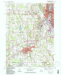
1994 Map of Sharon West
USGS Topo · Published 1997About this map
The industrial corridor of the Shenango River anchors this mid-1990s landscape, where the heavy rail infrastructure of the Conrail and Erie Lackawanna RR lines still shapes the urban geography of Sharon, Farrell, and Hermitage. The map reveals a densely developed borderland where Ohio and Pennsylvania meet, defined by the transition from the gridded streets of Hubbard and Youngstown to the semi-rural hills of Brookfield.
Find a feature on this map
82 named features on this map. Tap any name to fly to it.
Don’t see what you’re looking for? This feature index may not catch every label — zoom into the map to look around manually.
Map Details
Editions of this 1994 Sharon West Map
This is the sole edition of this map. No revisions or reprints were ever made.
Other maps of this area

1905 · Neshannock
USGS Topo · 1:62,500

1906 · Youngstown
USGS Topo · 1:62,500

1907 · Neshannock
USGS Topo · 1:62,500

1907 · Kinsman
USGS Topo · 1:62,500

1908 · Shenango
USGS Topo · 1:62,500

1908 · Youngstown
USGS Topo · 1:62,500

1950 · Cleveland
USGS Topo · 1:250,000

1951 · Campbell
USGS Topo · 1:24,000

1951 · Youngstown
USGS Topo · 1:24,000

1954 · Sharon West
USGS Topo · 1:24,000