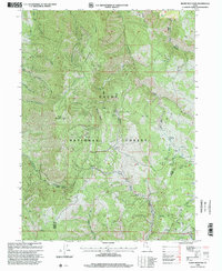
1998 Map of Sharp Mountain
USGS Topo · Published 2001About this map
Sharp Mountain rises as the central landmark of this high-elevation terrain within the Cache National Forest, as it appeared in the late 1990s. The landscape is defined by its complex drainage network, where the headwaters of the Little Bear River Canyon and several forks of Middle Park Creek carve deep into the northern and southern slopes. Evidence of the region's industrial and agricultural activity is preserved through labels like the La Plata Mine and various Corrals, while a Gravel Pit indicates more modern resource extraction. A sparse network of 4wd tracks provides the primary means of traversal through the ridge systems, including Porcupine and La Plata. The map also captures the political geography of the area, clearly delineating the boundary between Cache and Weber Counties as it traverses the high peaks and Canyons of the Wasatch Range.
Find a feature on this map
31 named features on this map. Tap any name to fly to it.
Don’t see what you’re looking for? This feature index may not catch every label — zoom into the map to look around manually.
Map Details
Editions of this 1998 Sharp Mountain Map
This is the sole edition of this map. No revisions or reprints were ever made.
Other maps of this area

1914 · Logan
USGS Topo · 1:125,000

1916 · Logan
USGS Topo · 1:125,000

1954 · Ogden
USGS Topo · 1:250,000

1955 · Paradise
USGS Topo · 1:24,000

1955 · Huntsville
USGS Topo · 1:24,000

1955 · James Peak
USGS Topo · 1:24,000

1958 · Ogden
USGS Topo · 1:250,000

1960 · Ogden
USGS Topo · 1:250,000

1964 · Monte Cristo PK
USGS Topo · 1:24,000
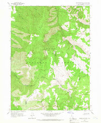
1964 · Sharp Mountain
USGS Topo · 1:24,000