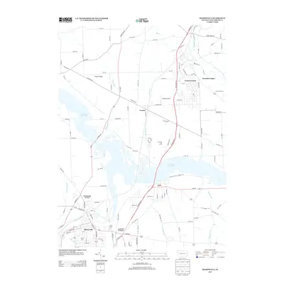
2013 Map of Sharpsville
USGS Topo · Published 2013About this map
Sharpsville sits at the southwestern edge of this landscape, where the Shenango River winds through the valley south of the expansive Shenango River Lake. The terrain is characterized by a series of small, established communities and crossroads, including Clark, Transfer, and the residential clusters of Greencrest Park and Reynolds Heights to the northeast. This 2013 snapshot of Mercer County captures a blend of suburban development and rural utility, evidenced by the presence of Napodano Airport and the Birchwood Golf Course.
Find a feature on this map
112 named features on this map. Tap any name to fly to it.
Don’t see what you’re looking for? This feature index may not catch every label — zoom into the map to look around manually.
Map Details
Editions of this 2013 Sharpsville Map
This is the sole edition of this map. No revisions or reprints were ever made.
Other maps of this area

1905 · Neshannock
USGS Topo · 1:62,500

1906 · Youngstown
USGS Topo · 1:62,500

1907 · Neshannock
USGS Topo · 1:62,500

1907 · Kinsman
USGS Topo · 1:62,500

1908 · Shenango
USGS Topo · 1:62,500

1908 · Youngstown
USGS Topo · 1:62,500

1950 · Cleveland
USGS Topo · 1:250,000

1954 · Sharon West
USGS Topo · 1:24,000

1956 · Cleveland
USGS Topo · 1:250,000

1958 · Sharpsville
USGS Topo · 1:24,000