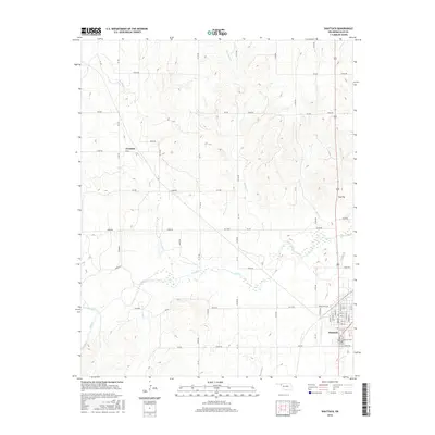
2016 Map of Shattuck
USGS Topo · Published 2016About this map
The town of Shattuck anchors the southeastern corner of this map, characterized by a grid of streets including Indian Hills Rd and local connectors like NS 175. The landscape is dominated by the westward-flowing waters of Wolf Cr and its tributaries, such as Ivanhoe Cr and Six Pony Cr. These drainages cut through the high plains, where smaller settlements like Touzalin and Flat Top are situated along the section-line road network.
Find a feature on this map
57 named features on this map. Tap any name to fly to it.
Don’t see what you’re looking for? This feature index may not catch every label — zoom into the map to look around manually.
Map Details
Editions of this 2016 Shattuck Map
This is the sole edition of this map. No revisions or reprints were ever made.
Other maps of this area

1954 · Perryton
USGS Topo · 1:250,000

1955 · Woodward
USGS Topo · 1:250,000

1958 · Perryton
USGS Topo · 1:250,000

1958 · Woodward
USGS Topo · 1:250,000

1969 · Shattuck
USGS Topo · 1:24,000

1969 · Shattuck NW
USGS Topo · 1:24,000

1969 · Gage
USGS Topo · 1:24,000

1969 · Shattuck NE
USGS Topo · 1:24,000

1970 · Arnett
USGS Topo · 1:24,000

1970 · Goodwin
USGS Topo · 1:24,000