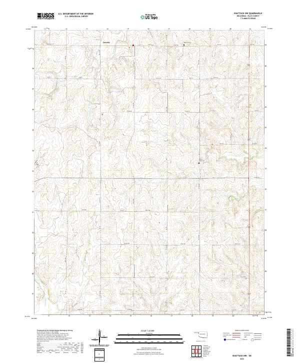
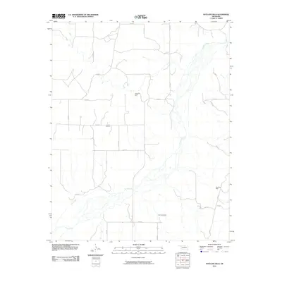
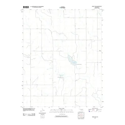
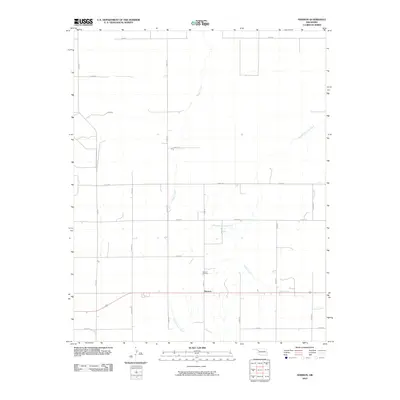
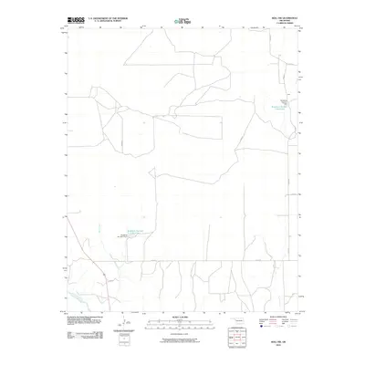
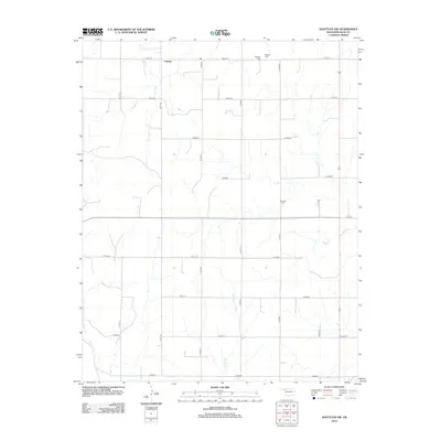
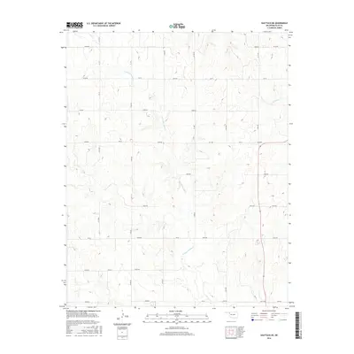
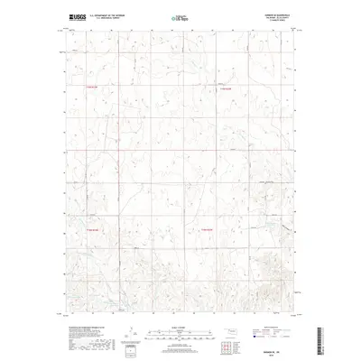
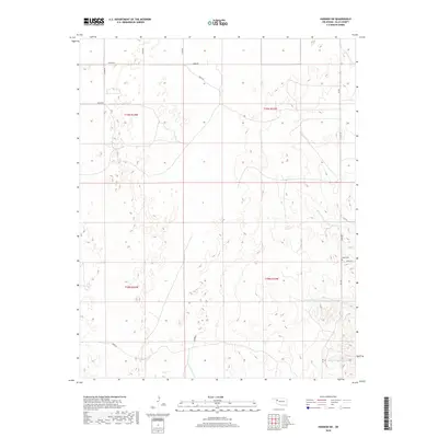
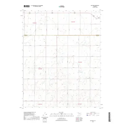
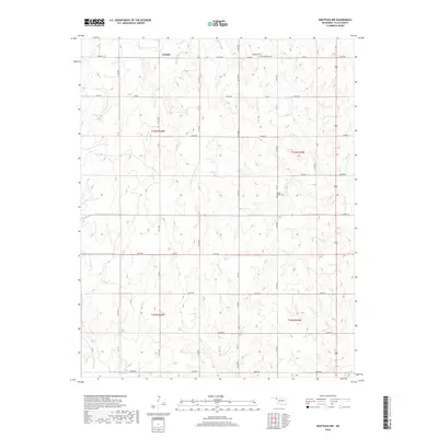
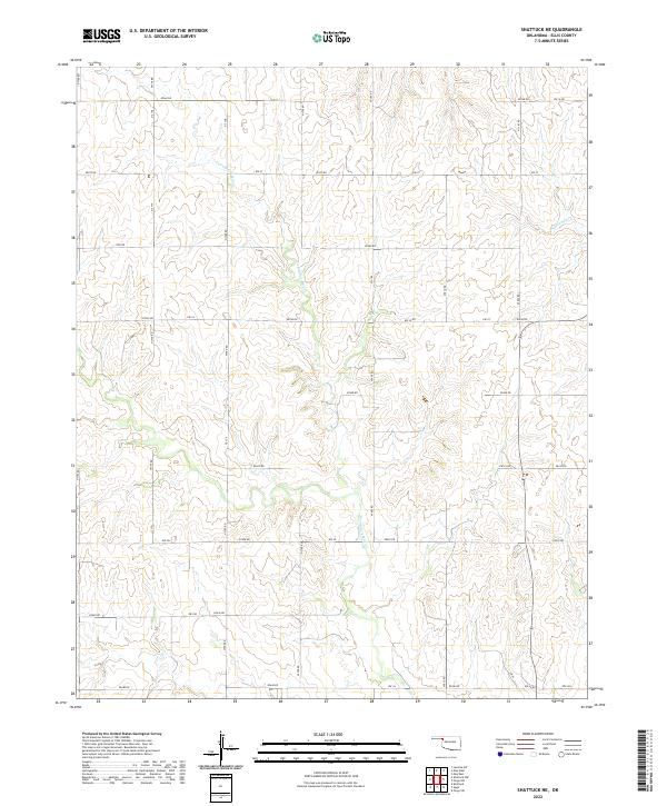
2022 Map of Shattuck NW
USGS Topo · Published 2022About this map
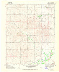
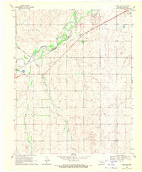
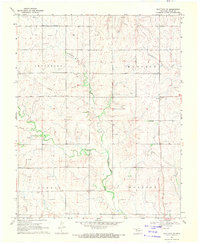
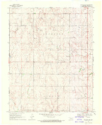
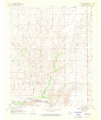
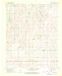
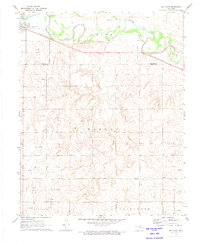
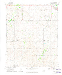
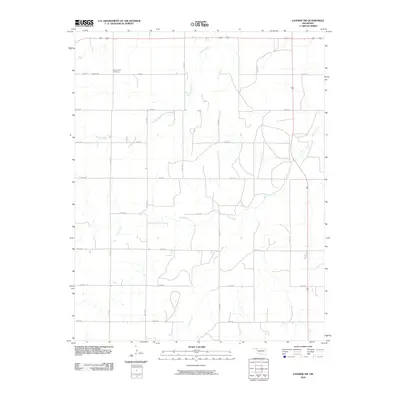
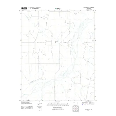
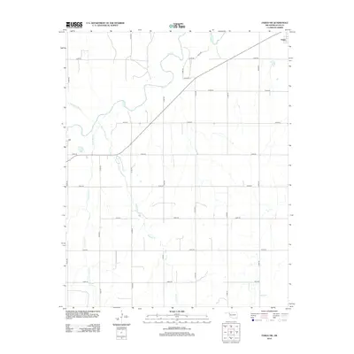
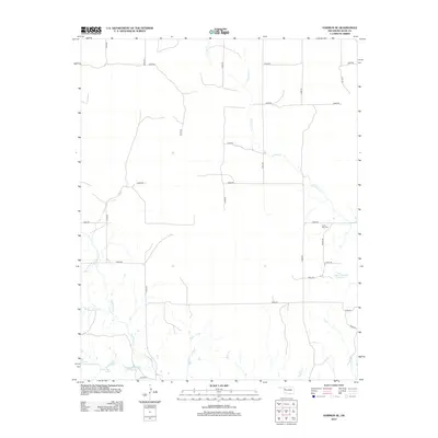
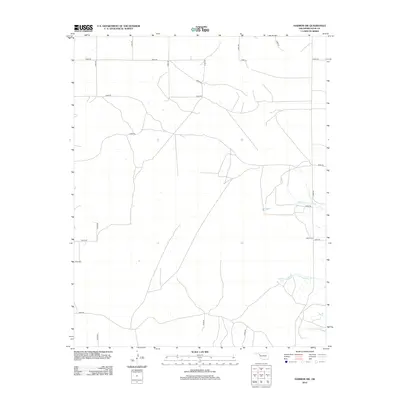
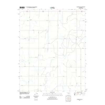
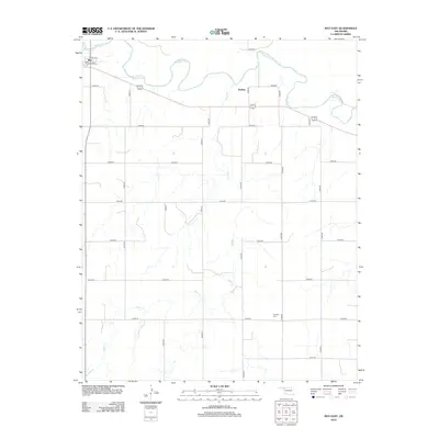
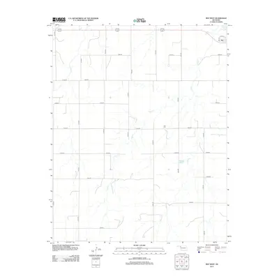
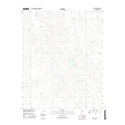
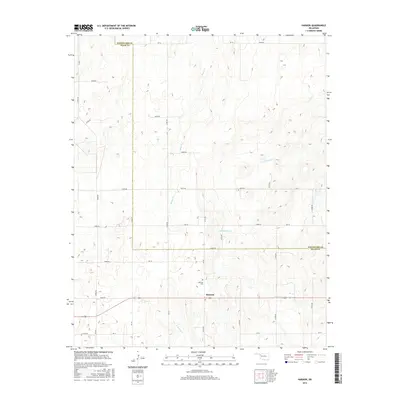
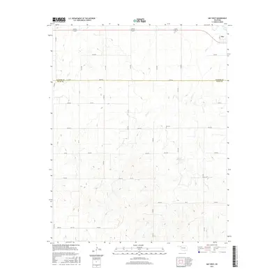
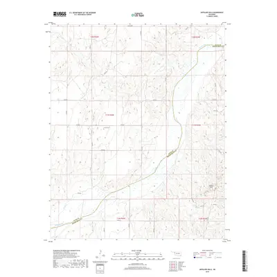
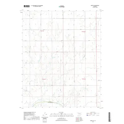
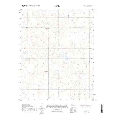
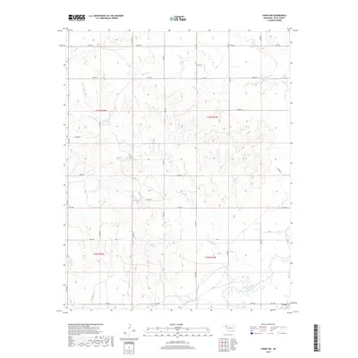
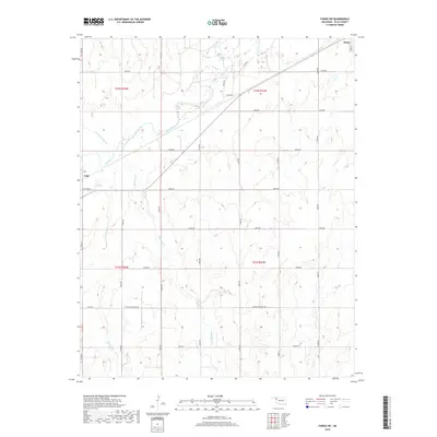
Catesby anchors the northern reaches of this Ellis County landscape, situated amidst a grid of section roads that define the region's agricultural character. This 2022 survey illustrates a terrain deeply etched by seasonal drainage systems, including the headwaters of Ivanhoe Cr and the winding course of Six-Pony Cr. These watercourses create a distinctively complex topography compared to the flatter plains found further east.
Find a feature on this map
31 named features on this map. Tap any name to fly to it.
Don’t see what you’re looking for? This feature index may not catch every label — zoom into the map to look around manually.
Map Details
Editions of this 2022 Shattuck NW Map
This is the sole edition of this map. No revisions or reprints were ever made.
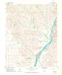
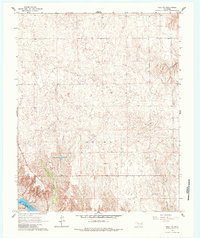
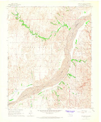
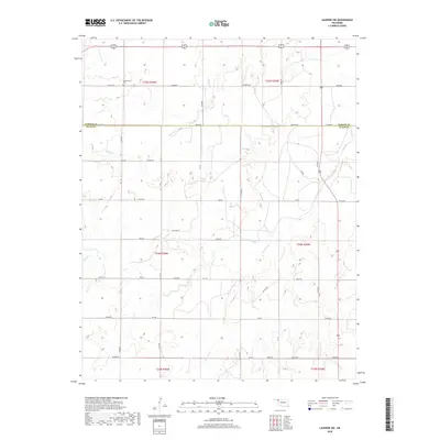
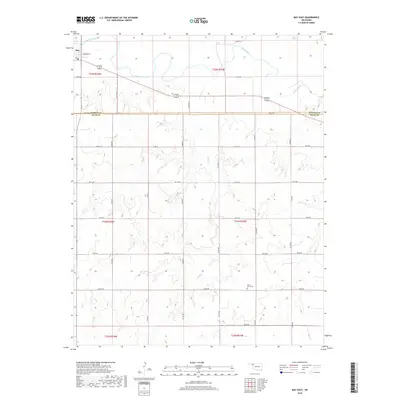
Historical Maps of Catesby Through Time
108 maps found
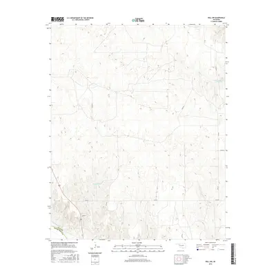
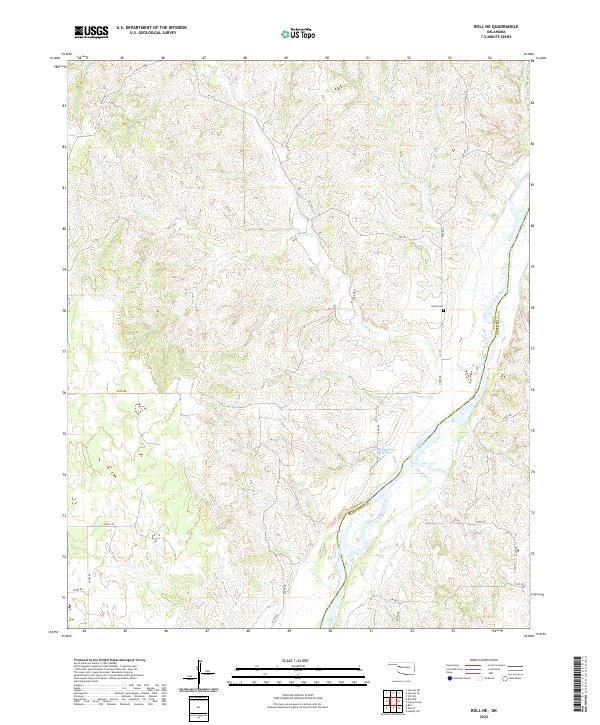
1965 Roll NE
Ellis County, OK
1965 Roll NW
Ellis County, OK
1966 Antelope Hills
Ellis County, OK
1969 Fargo NW
Ellis County, OK
1969 Fargo SW
Ellis County, OK
1969 Shattuck NE
Ellis County, OK
1969 Shattuck NW
Ellis County, OK
1970 Arnett SE
Ellis County, OK
1970 Arnett SW
Ellis County, OK
1970 Goodwin
Ellis County, OK
1970 Harmon
Ellis County, OK
1970 Harmon NW
Ellis County, OK
1970 Harmon SE
Ellis County, OK
1970 Harmon SW
Ellis County, OK

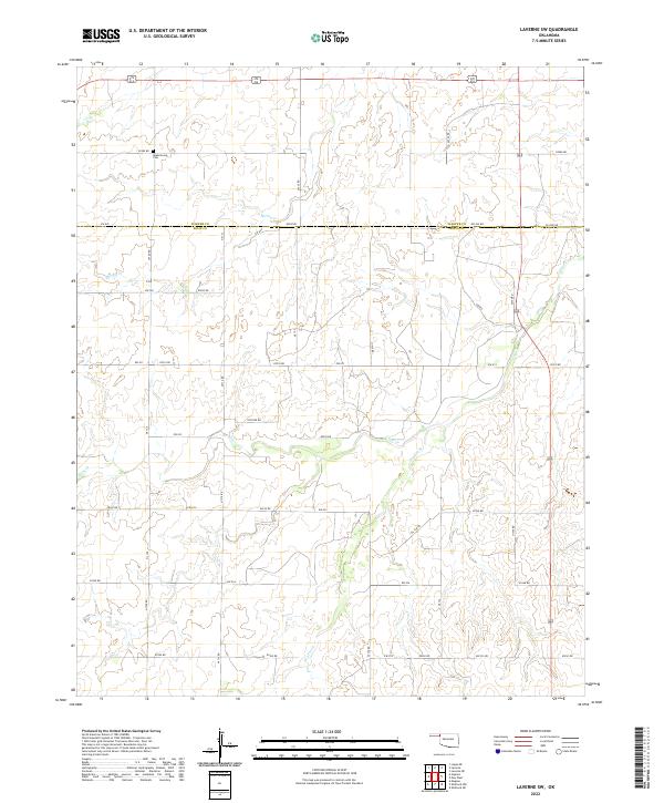
1970 Laverne SW
Ellis County, OK
1970 Vici SW
Ellis County, OK
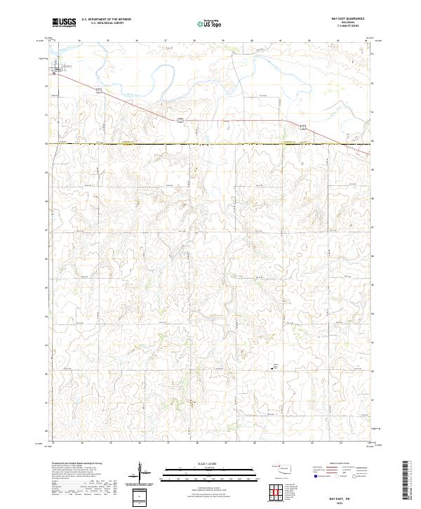
1971 May East
Ellis County, OK
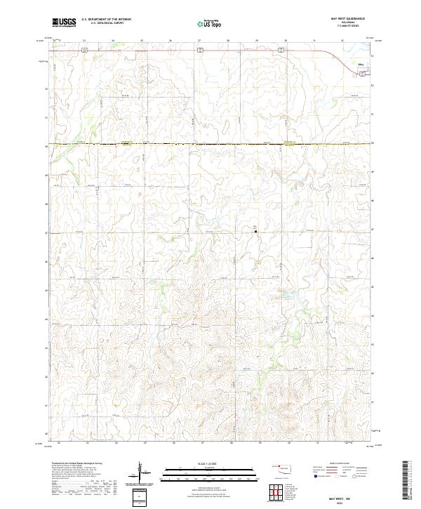
1971 May West
Ellis County, OK
2010 Antelope Hills
Ellis County, OK
2010 Arnett SE
Ellis County, OK
2010 Arnett SW
Ellis County, OK
2010 Fargo NW
Ellis County, OK
2010 Fargo SW
Ellis County, OK
2010 Goodwin
Ellis County, OK
2010 Harmon
Ellis County, OK
2010 Harmon NW
Ellis County, OK
2010 Harmon SE
Ellis County, OK
2010 Harmon SW
Ellis County, OK
2010 Laverne SW
Ellis County, OK
2010 May East
Ellis County, OK
2010 May West
Ellis County, OK
2010 Roll NE
Ellis County, OK
2010 Roll NW
Ellis County, OK
2010 Shattuck NE
Ellis County, OK
2010 Shattuck NW
Ellis County, OK
2010 Vici SW
Ellis County, OK
2012 Antelope Hills
Ellis County, OK
2012 Arnett SE
Ellis County, OK
2012 Arnett SW
Ellis County, OK
2012 Fargo NW
Ellis County, OK
2012 Fargo SW
Ellis County, OK
2012 Goodwin
Ellis County, OK
2012 Harmon
Ellis County, OK
2012 Harmon NW
Ellis County, OK
2012 Harmon SE
Ellis County, OK
2012 Harmon SW
Ellis County, OK
2012 Laverne SW
Ellis County, OK
2012 May East
Ellis County, OK
2012 May West
Ellis County, OK
2012 Roll NE
Ellis County, OK
2012 Roll NW
Ellis County, OK
2012 Shattuck NE
Ellis County, OK
2012 Shattuck NW
Ellis County, OK
2012 Vici SW
Ellis County, OK
2016 Antelope Hills
Ellis County, OK
2016 Arnett SE
Ellis County, OK
2016 Arnett SW
Ellis County, OK
2016 Fargo NW
Ellis County, OK
2016 Fargo SW
Ellis County, OK
2016 Goodwin
Ellis County, OK
2016 Harmon
Ellis County, OK
2016 Harmon NW
Ellis County, OK
2016 Harmon SE
Ellis County, OK
2016 Harmon SW
Ellis County, OK
2016 Laverne SW
Ellis County, OK
2016 May East
Ellis County, OK
2016 May West
Ellis County, OK
2016 Roll NE
Ellis County, OK
2016 Roll NW
Ellis County, OK
2016 Shattuck NE
Ellis County, OK
2016 Shattuck NW
Ellis County, OK
2016 Vici SW
Ellis County, OK
2018 Antelope Hills
Ellis County, OK
2018 Arnett SE
Ellis County, OK
2018 Arnett SW
Ellis County, OK
2018 Fargo NW
Ellis County, OK
2018 Fargo SW
Ellis County, OK
2018 Goodwin
Ellis County, OK
2018 Harmon
Ellis County, OK
2018 Harmon NW
Ellis County, OK
2018 Harmon SE
Ellis County, OK
2018 Harmon SW
Ellis County, OK
2018 Laverne SW
Ellis County, OK
2018 May East
Ellis County, OK
2018 May West
Ellis County, OK
2018 Roll NE
Ellis County, OK
2018 Roll NW
Ellis County, OK
2018 Shattuck NE
Ellis County, OK
2018 Shattuck NW
Ellis County, OK
2018 Vici SW
Ellis County, OK
2022 Antelope Hills
Ellis County, OK
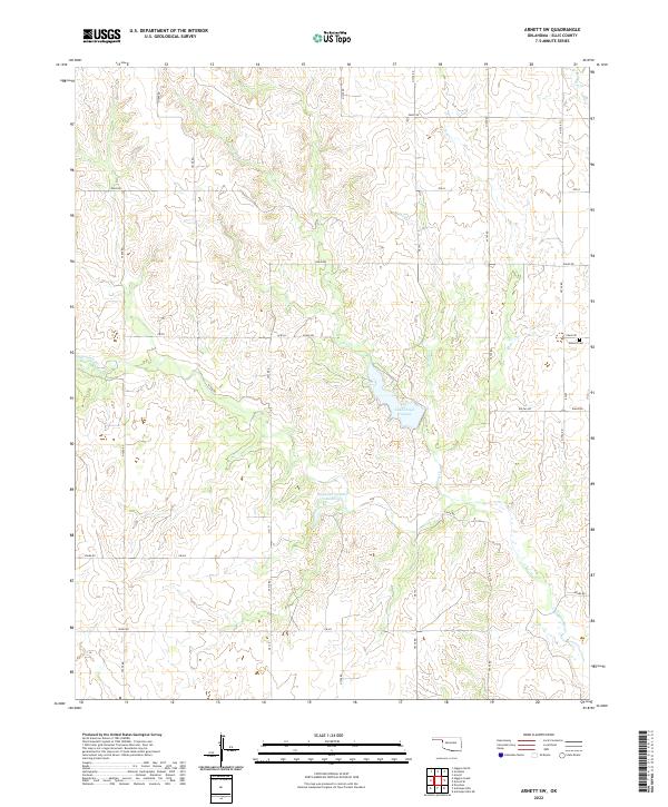
2022 Arnett SE
Ellis County, OK
2022 Arnett SW
Ellis County, OK
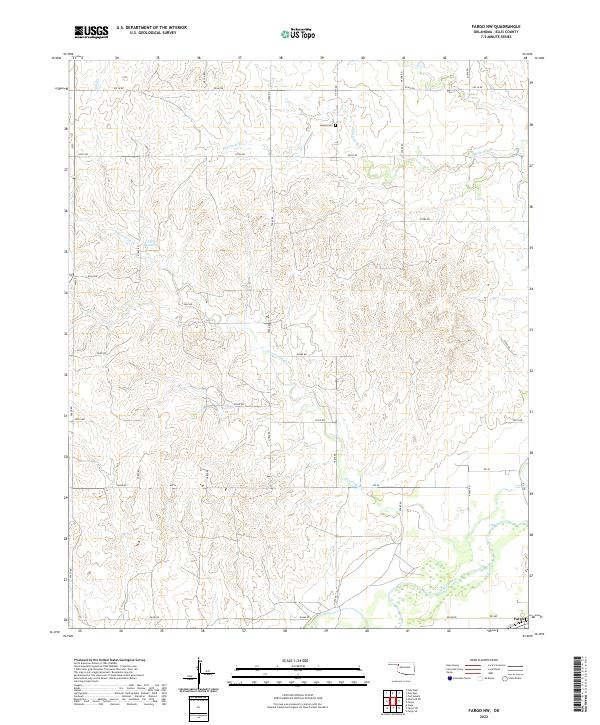
2022 Fargo NW
Ellis County, OK
2022 Fargo SW
Ellis County, OK
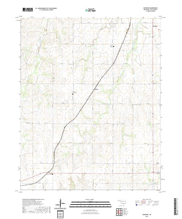
2022 Goodwin
Ellis County, OK
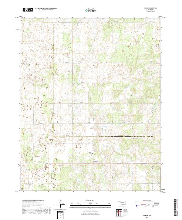
2022 Harmon
Ellis County, OK
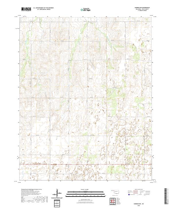
2022 Harmon NW
Ellis County, OK
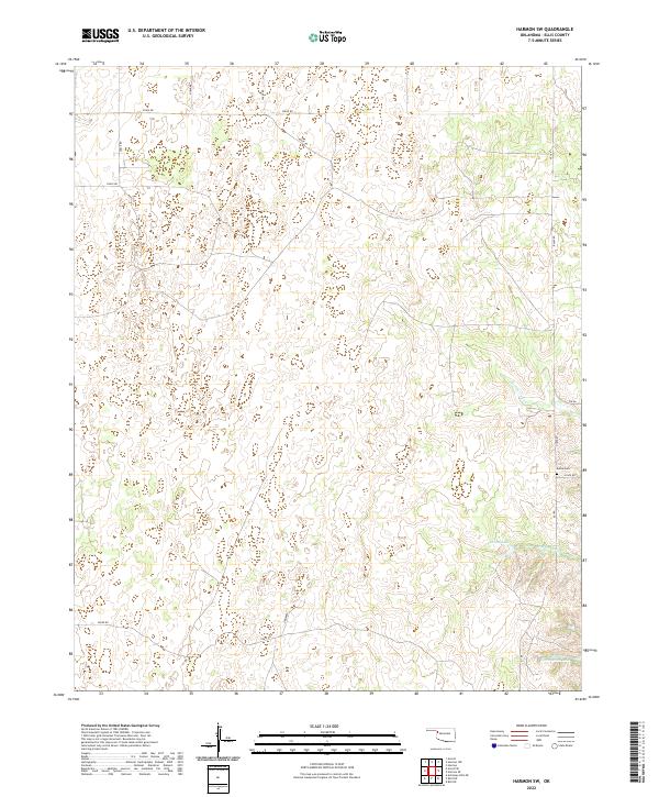
2022 Harmon SE
Ellis County, OK
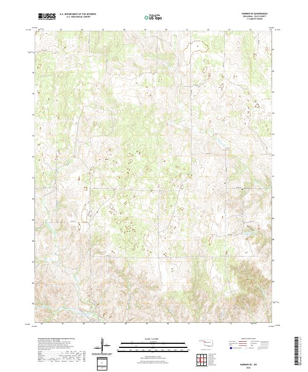
2022 Harmon SW
Ellis County, OK
2022 Laverne SW
Ellis County, OK
2022 May East
Ellis County, OK
2022 May West
Ellis County, OK
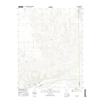
2022 Roll NE
Ellis County, OK
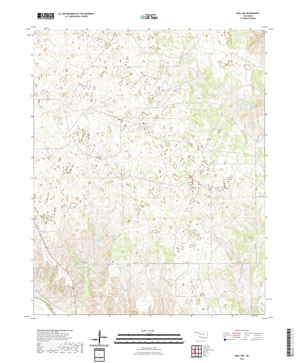
2022 Roll NW
Ellis County, OK
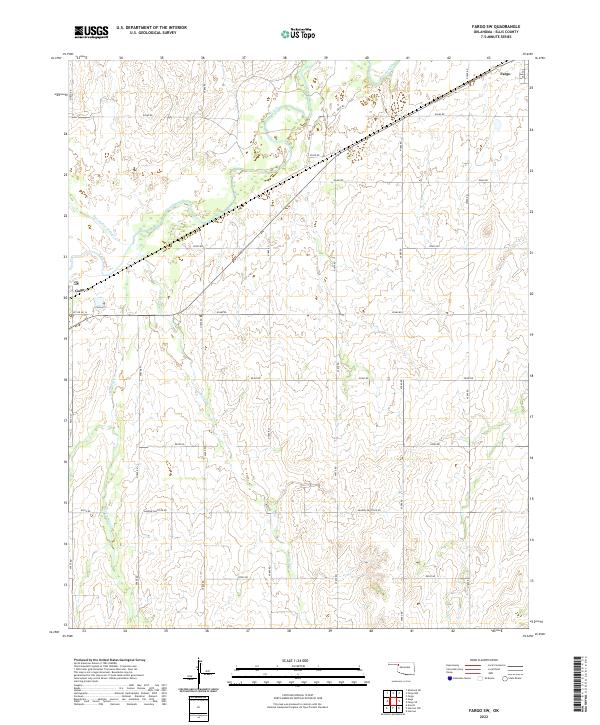
2022 Shattuck NE
Ellis County, OK
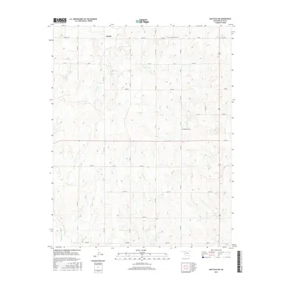
2022 Shattuck NW
Ellis County, OK
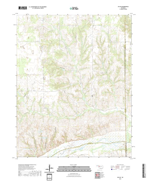
2022 Vici SW
Ellis County, OK