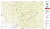
1980 Map of Shaver Lake
USGS Topo · Published 1980About this map
The Sierra National Forest dominates this 1980 survey, illustrating a landscape defined by massive hydroelectric and recreational reservoirs. High-elevation water bodies like Huntington Lake, Shaver Lake, and the Mammoth Pool Reservoir are connected by the steep drainage of the San Joaquin River, which carves through the central portion of the map. The transition from the high sierra peaks of the Kaiser Wilderness and John Muir Wilderness down to the lower foothills reveals a legacy of resource extraction, particularly in the western areas near Raymond and Knowles.
Find a feature on this map
106 named features on this map. Tap any name to fly to it.
Don’t see what you’re looking for? This feature index may not catch every label — zoom into the map to look around manually.
Map Details
Editions of this 1980 Shaver Lake Map
3 editions found
Other maps of this area

1893 · Sonora
USGS Topo · 1:125,000
1896 · Sonora
USGS Topo · 1:125,000
1897 · Sonora
USGS Topo · 1:125,000
1897 · Yosemite
USGS Topo · 1:125,000
1898 · Sonora
USGS Topo · 1:125,000
1900 · Yosemite
USGS Topo · 1:125,000
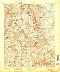
1901 · Mt. Lyell
USGS Topo · 1:125,000
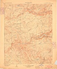
1903 · Yosemite
USGS Topo · 1:125,000
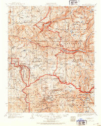
1903 · Tehipite
USGS Topo · 1:125,000
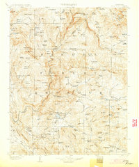
1904 · Kaiser
USGS Topo · 1:125,000