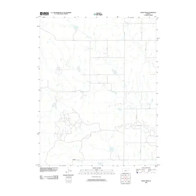
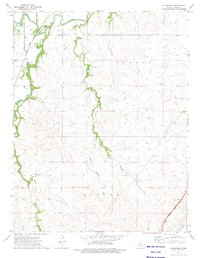
2009 Map of Shaw Creek
USGS Topo · Published 2009About this map
Kenbro sits at the southern edge of this landscape, where the prairie of Greenwood County meets a complex network of drainage basins. The area is defined by the convergence of several major waterways, most notably the North Branch Verdigris River which cuts across the central section of the map. Smaller tributaries including Shaw Creek and Wolf Creek feed into this system, creating a landscape punctuated by numerous small ponds and catchment basins. A grid of rural routes, including Rd 50 and Co Rd 2, provides the primary structure for the agricultural land use that dominates the region. The map reveals the intricate natural drainage patterns of the Flint Hills region, with Rock Creek and various unnamed draws shaping the local topography between established township roads like Twp Rd 59.
Find a feature on this map
19 named features on this map. Tap any name to fly to it.
Don’t see what you’re looking for? This feature index may not catch every label — zoom into the map to look around manually.
Map Details
Editions of this 2009 Shaw Creek Map
This is the sole edition of this map. No revisions or reprints were ever made.
Other maps of this area

1888 · Emporia
USGS Topo · 1:125,000

1894 · Emporia
USGS Topo · 1:125,000

1955 · Hutchinson
USGS Topo · 1:250,000

1959 · Hutchinson
USGS Topo · 1:250,000

1967 · Madison SW
USGS Topo · 1:24,000
1967 · Thrall
USGS Topo · 1:24,000
1967 · Teterville
USGS Topo · 1:24,000
1973 · Olpe
USGS Topo · 1:24,000

1973 · Shaw Creek
USGS Topo · 1:24,000
1973 · Gladstone
USGS Topo · 1:24,000