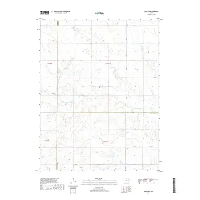
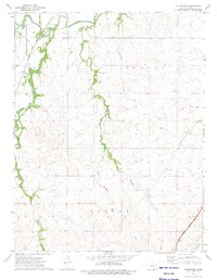
2018 Map of Shaw Creek
USGS Topo · Published 2018About this map
Kenbro serves as the primary named settlement in this pocket of eastern Kansas, situated near the intersection of several county lines. The landscape is defined by the branching headwaters of the Verdigris River system, including the N Br Verdigris River and S Br Verdigris River. These waterways, along with tributaries like Shaw Cr, Rock Cr, and Wolf Cr, create a dendritic drainage pattern through the prairie.
Find a feature on this map
25 named features on this map. Tap any name to fly to it.
Don’t see what you’re looking for? This feature index may not catch every label — zoom into the map to look around manually.
Map Details
Editions of this 2018 Shaw Creek Map
This is the sole edition of this map. No revisions or reprints were ever made.
Other maps of this area

1888 · Emporia
USGS Topo · 1:125,000

1894 · Emporia
USGS Topo · 1:125,000

1955 · Hutchinson
USGS Topo · 1:250,000

1959 · Hutchinson
USGS Topo · 1:250,000

1967 · Madison SW
USGS Topo · 1:24,000
1967 · Thrall
USGS Topo · 1:24,000
1967 · Teterville
USGS Topo · 1:24,000
1973 · Olpe
USGS Topo · 1:24,000

1973 · Shaw Creek
USGS Topo · 1:24,000
1973 · Gladstone
USGS Topo · 1:24,000