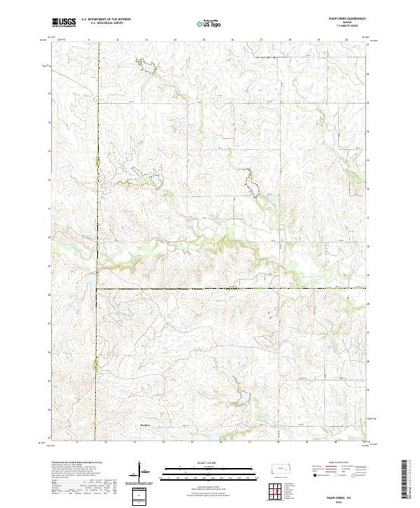
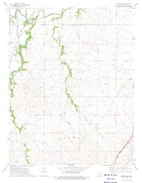
2022 Map of Shaw Creek
USGS Topo · Published 2022About this map
Kenbro sits at the southern edge of this section of the Flint Hills, a quiet settlement located near the junction of several rural routes including 360th St. The landscape is defined by the headwaters and meandering courses of the N Br Verdigris River and S Br Verdigris River, which cut through the undulating terrain of Lyon, Greenwood, and Chase Counties. This area is characterized by a sparse, agrarian layout where section lines are marked by gravel roads like Rd 50 and Rd 30. Numerous smaller tributaries, such as Shaw Cr, Wolf Cr, and Rock Cr, create a dense network of drainage patterns across the prairie, influencing the placement of local homesteads and access roads like Camp Creek Rd.
Find a feature on this map
27 named features on this map. Tap any name to fly to it.
Don’t see what you’re looking for? This feature index may not catch every label — zoom into the map to look around manually.
Map Details
Editions of this 2022 Shaw Creek Map
This is the sole edition of this map. No revisions or reprints were ever made.
Other maps of this area

1888 · Emporia
USGS Topo · 1:125,000

1894 · Emporia
USGS Topo · 1:125,000

1955 · Hutchinson
USGS Topo · 1:250,000

1959 · Hutchinson
USGS Topo · 1:250,000

1967 · Madison SW
USGS Topo · 1:24,000
1967 · Thrall
USGS Topo · 1:24,000
1967 · Teterville
USGS Topo · 1:24,000
1973 · Olpe
USGS Topo · 1:24,000

1973 · Shaw Creek
USGS Topo · 1:24,000
1973 · Gladstone
USGS Topo · 1:24,000