
1986 Map of Shawmut
USGS Topo · Published 1986About this map
Shawmut sits at the heart of this Montana landscape, where human engineering meets the winding path of the Musselshell River. The map captures a moment in the mid-1980s when the region's transportation history remained clearly etched into the terrain. An extensive Old RR Grade follows the river's northern bank, tracing the legacy of the Milwaukee Road through Wheatland County.
Find a feature on this map
7 named features on this map. Tap any name to fly to it.
Don’t see what you’re looking for? This feature index may not catch every label — zoom into the map to look around manually.
Map Details
Editions of this 1986 Shawmut Map
This is the sole edition of this map. No revisions or reprints were ever made.
Other maps of this area

1889 · Big Snowy Mountain
USGS Topo · 1:250,000

1893 · Big Snowy Mountain
USGS Topo · 1:250,000

1954 · Roundup
USGS Topo · 1:250,000

1958 · Roundup
USGS Topo · 1:250,000

1985 · Jim Creek
USGS Topo · 1:24,000

1985 · Progress
USGS Topo · 1:24,000
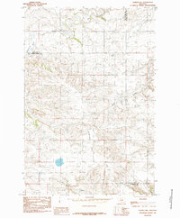
1985 · O'Brien Hill
USGS Topo · 1:24,000

1986 · Halbert Creek South
USGS Topo · 1:24,000
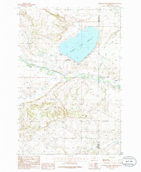
1986 · Deadmans Basin Reservoir
USGS Topo · 1:24,000
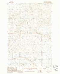
1986 · Devils Pocket
USGS Topo · 1:24,000