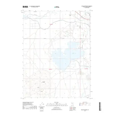
2018 Map of Sheckler Reservoir
USGS Topo · Published 2018About this map
Sheckler Reservoir dominates this high-desert landscape in Lahontan Valley, serving as a central node in an extensive irrigation network. The map reveals the intricate engineering of the Newlands Project through features like the V-Line Canal, N-Line Canal, and the curiously named Twenty Six Foot Drop. These waterways transformed the arid flats below Swingle Bench into a productive agricultural corridor along the Carson River. To the southwest, the terrain rises sharply into the Dead Camel Mountains, marked by distinctive peaks such as Red Mtn and The Nipple. This contrast between the highly managed water systems of the valley and the wild, uncultivated mountain range illustrates the 20th-century effort to reclaim the Nevada desert. Local history is further preserved in the names of rural roads like Pioneer Way and Milburn Ln, which border the irrigated fields.
Find a feature on this map
29 named features on this map. Tap any name to fly to it.
Don’t see what you’re looking for? This feature index may not catch every label — zoom into the map to look around manually.
Map Details
Editions of this 2018 Sheckler Reservoir Map
This is the sole edition of this map. No revisions or reprints were ever made.
Other maps of this area

1890 · Wadsworth
USGS Topo · 1:125,000

1891 · Wabuska
USGS Topo · 1:125,000

1892 · Wadsworth
USGS Topo · 1:125,000

1894 · Wadsworth
USGS Topo · 1:125,000

1894 · Wabuska
USGS Topo · 1:125,000

1908 · Carson Sink
USGS Topo · 1:250,000

1910 · Carson Sink
USGS Topo · 1:250,000

1951 · Soda Lake
USGS Topo · 1:62,500

1951 · Fallon
USGS Topo · 1:62,500

1957 · Two Tips
USGS Topo · 1:62,500