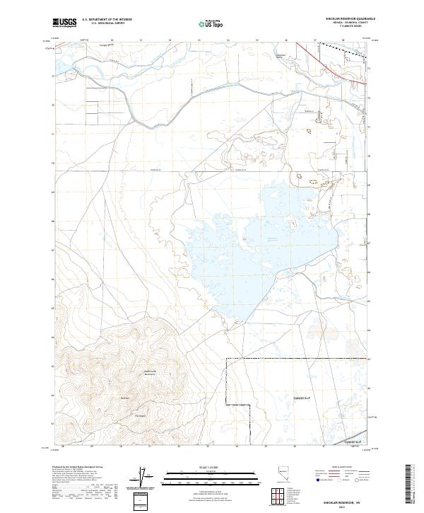
2021 Map of Sheckler Reservoir
USGS Topo · Published 2021About this map
Lahontan Valley serves as the focal point for this desert landscape, where an intricate network of irrigation infrastructure transforms the arid terrain. The Sheckler Reservoir dominates the central portion of the sheet, surrounded by a complex system of water management including the T Line Canal, V Line Canal, and N Line Canal. This reliance on the Carson River for agricultural stability is evident in the transition from the reclaimed lands of Swingle Bench to the more natural topography of the south.
Find a feature on this map
32 named features on this map. Tap any name to fly to it.
Don’t see what you’re looking for? This feature index may not catch every label — zoom into the map to look around manually.
Map Details
Editions of this 2021 Sheckler Reservoir Map
This is the sole edition of this map. No revisions or reprints were ever made.
Other maps of this area

1890 · Wadsworth
USGS Topo · 1:125,000

1891 · Wabuska
USGS Topo · 1:125,000

1892 · Wadsworth
USGS Topo · 1:125,000

1894 · Wadsworth
USGS Topo · 1:125,000

1894 · Wabuska
USGS Topo · 1:125,000

1908 · Carson Sink
USGS Topo · 1:250,000

1910 · Carson Sink
USGS Topo · 1:250,000

1951 · Soda Lake
USGS Topo · 1:62,500

1951 · Fallon
USGS Topo · 1:62,500

1957 · Two Tips
USGS Topo · 1:62,500