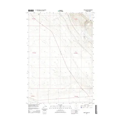
2015 Map of Sheep Canyon
USGS Topo · Published 2015About this map
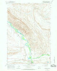
Sheep Mtn dominates the northeastern corner of this Big Horn County landscape, where the high ground gives way to the deep cut of Sheep Canyon. This 2015 survey illustrates a drainage system defined by intermittent watercourses like Lovell Draw and Little Dry Cr, which carve through the high plains toward the Bighorn River at the far eastern edge. A critical water source in this arid environment is found at Sheep Mountain Springs, located just below the mountain's crest. Human activity is sparse, marked primarily by the path of Ribbon Canyon Rd and the straight-line section boundaries of the Public Land Survey System. The map documents the persistent geography of the Wyoming basin, where topographical features such as Dry Cr remain the primary landmarks in a largely undeveloped territory.
Find a feature on this map
14 named features on this map. Tap any name to fly to it.
Don’t see what you’re looking for? This feature index may not catch every label — zoom into the map to look around manually.
Map Details
Editions of this 2015 Sheep Canyon Map
This is the sole edition of this map. No revisions or reprints were ever made.
Other maps of this area

1951 · Otto
USGS Topo · 1:24,000

1955 · Cody
USGS Topo · 1:250,000

1958 · Cody
USGS Topo · 1:250,000

1962 · Cody
USGS Topo · 1:250,000
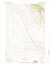
1966 · Sheep Canyon
USGS Topo · 1:24,000
1966 · Gould Butte
USGS Topo · 1:24,000

1966 · North Emblem Reservoir
USGS Topo · 1:24,000
1966 · Greybull South
USGS Topo · 1:24,000
1966 · Greybull North
USGS Topo · 1:24,000

1966 · Emblem SE
USGS Topo · 1:24,000