
1964 Map of Sheep Creek
USGS Topo · Published 1966About this map
Boise National Forest encompasses the entirety of this mid-1960s survey, illustrating a landscape defined by the drainage systems of the Boise River. The northern portion of the map follows the winding course of the Middle Fork Boise River, where early recreational development is evident at sites like the Repeat Creek Campground and Troutdale Campground. A lone Prospect label near a Hot Spring along the river suggests small-scale mineral exploration common to this part of the Idaho backcountry during the mid-century. The southern reaches of the quadrangle are dominated by the extensive tributaries of Sheep Creek, including its East Fork and South Fork, which carve through the high country around Sheep Mountain. A system of primitive routes, labeled simply as Trail, provides the only access through these steep drainages, connecting remote points like Rattlesnake Creek and Pack Creek.
Find a feature on this map
23 named features on this map. Tap any name to fly to it.
Don’t see what you’re looking for? This feature index may not catch every label — zoom into the map to look around manually.
Map Details
Editions of this 1964 Sheep Creek Map
This is the sole edition of this map. No revisions or reprints were ever made.
Other maps of this area

1894 · Idaho Basin
USGS Topo · 1:125,000

1894 · Rocky Bar
USGS Topo · 1:125,000

1955 · Hailey
USGS Topo · 1:250,000

1959 · Hailey
USGS Topo · 1:250,000

1962 · Hailey
USGS Topo · 1:250,000
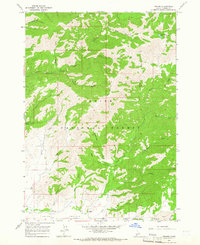
1964 · Prairie
USGS Topo · 1:24,000
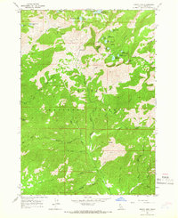
1964 · Trinity Mtn
USGS Topo · 1:24,000

1964 · Little Trinity Lake
USGS Topo · 1:24,000

1964 · Twin Springs
USGS Topo · 1:24,000
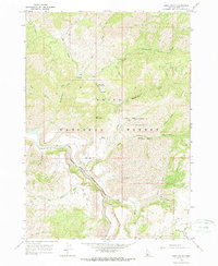
1964 · Long Gulch
USGS Topo · 1:24,000