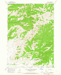
1964 Map of Prairie
USGS Topo · Published 1965About this map
Prairie and the surrounding high-altitude cattle country of Elmore County are documented here during the mid-1960s, showing a landscape defined by the Boise National Forest and the upper drainages of Smith Creek. The area's aviation and recreation infrastructure is evident through the Smith Prairie Airstrip and the Tipton Flat Campground, which serve as focal points for back-country access. Water management for this arid terrain is highlighted by the Pierce Ditch, a notable engineering feature that moves water through the southern flats. A network of pack trails and jeep trails connects remote landmarks like Baker and Tipton Flat, illustrating how the region was navigated before more modern road improvements. The topography is dominated by massive features such as Rattlesnake Mountain and Lava Mountain, with numerous drainages like Bear Gulch and Lava Creek carving through the mountain slopes.
Find a feature on this map
39 named features on this map. Tap any name to fly to it.
Don’t see what you’re looking for? This feature index may not catch every label — zoom into the map to look around manually.
Map Details
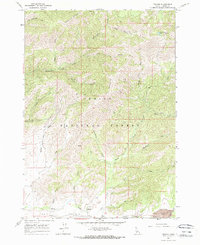
Editions of this 1964 Prairie Map
2 editions found
Other maps of this area

1892 · Mountain Home
USGS Topo · 1:125,000

1892 · Camas Prairie
USGS Topo · 1:125,000

1893 · Mountain Home
USGS Topo · 1:125,000

1893 · Camas Prairie
USGS Topo · 1:125,000

1894 · Idaho Basin
USGS Topo · 1:125,000

1894 · Rocky Bar
USGS Topo · 1:125,000

1955 · Hailey
USGS Topo · 1:250,000

1959 · Hailey
USGS Topo · 1:250,000

1960 · Danskin Peak
USGS Topo · 1:62,500

1962 · Hailey
USGS Topo · 1:250,000