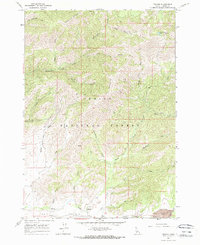
1964 Map of Prairie
USGS Topo · Published 1965About this map
Rattlesnake Mountain and Lava Mountain anchor this high-elevation terrain within the Boise National Forest during the mid-1960s. The settlement of Prairie sits at the southern edge of the sheet, serving as a remote outpost in a landscape defined by steep gulches and mountain drainage systems. The transport network of the era is remarkably sparse, relying on a series of Pack Trails and Jeep Trails to navigate the interior backcountry between Bear Gulch and Mule Gulch.
Find a feature on this map
32 named features on this map. Tap any name to fly to it.
Don’t see what you’re looking for? This feature index may not catch every label — zoom into the map to look around manually.
Map Details
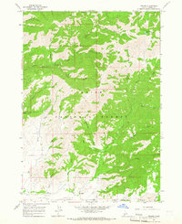
Editions of this 1964 Prairie Map
2 editions found
Other maps of this area

1892 · Mountain Home
USGS Topo · 1:125,000

1892 · Camas Prairie
USGS Topo · 1:125,000

1893 · Mountain Home
USGS Topo · 1:125,000

1893 · Camas Prairie
USGS Topo · 1:125,000

1894 · Idaho Basin
USGS Topo · 1:125,000

1894 · Rocky Bar
USGS Topo · 1:125,000

1955 · Hailey
USGS Topo · 1:250,000

1959 · Hailey
USGS Topo · 1:250,000

1960 · Danskin Peak
USGS Topo · 1:62,500

1962 · Hailey
USGS Topo · 1:250,000