
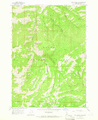
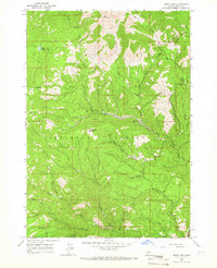
1964 Map of Little Trinity Lake
USGS Topo · Published 1966About this map
Boise National Forest encompasses this high-elevation landscape in Elmore County, defined by a complex drainage network that feeds the Roaring River and Trinity Creek. The mid-1960s terrain is marked by an intricate system of pack trails and forest service infrastructure, notably the Trinity Lakes Guard Station situated near the southern cluster of alpine lakes. This area serves as a focal point for backcountry management and recreation, featuring the Trinity Lake Campground and Big Trinity Campground near the water's edge. The hydrography of the region is particularly dense, with various forks and tributaries such as the Middle Fork and East Fork carving through the slopes below Sheep Mountain. A legacy of early mountain travel is preserved in the numerous pack trails that navigate the ridges between drainages like Deadman Creek and Whiskey Jack Creek, indicating a landscape accessed primarily by horse and foot during this era.
Find a feature on this map
28 named features on this map. Tap any name to fly to it.
Don’t see what you’re looking for? This feature index may not catch every label — zoom into the map to look around manually.
Map Details
Editions of this 1964 Little Trinity Lake Map
2 editions found
Other maps of this area

1894 · Idaho Basin
USGS Topo · 1:125,000

1894 · Rocky Bar
USGS Topo · 1:125,000

1955 · Hailey
USGS Topo · 1:250,000

1959 · Hailey
USGS Topo · 1:250,000

1962 · Hailey
USGS Topo · 1:250,000
1964 · Featherville
USGS Topo · 1:24,000
1964 · Prairie
USGS Topo · 1:24,000
1964 · Trinity Mtn
USGS Topo · 1:24,000

1964 · Sheep Creek
USGS Topo · 1:24,000
1964 · Rocky Bar
USGS Topo · 1:24,000