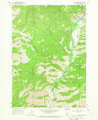
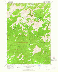
1964 Map of Featherville
USGS Topo · Published 1965About this map
Featherville and the smaller settlement of Dixie serve as the primary hubs in this mid-1960s survey of Elmore County. The landscape is dominated by the South Fork Boise River, which carves a deep valley through the Boise National Forest and Sawtooth National Forest. This era shows a region transition between historical resource extraction and growing recreational use, evidenced by the presence of numerous prospects and a Gravel Pit alongside the developed Dog Creek Campground and Paradise Hot Springs. High-altitude features like Green Creek Lake and the long Wagontown Ridge define the western portion of the quadrangle. For those tracking early aviation or backcountry access, the Diamond Bar Airstrip sits perched on the eastern slopes, while the Crosscut Trail provides a glimpse into the traditional pack routes used to navigate between drainages like Parks Creek and Green Creek.
Find a feature on this map
39 named features on this map. Tap any name to fly to it.
Don’t see what you’re looking for? This feature index may not catch every label — zoom into the map to look around manually.
Map Details
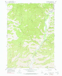
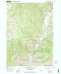
Editions of this 1964 Featherville Map
3 editions found
Other maps of this area

1892 · Camas Prairie
USGS Topo · 1:125,000

1893 · Camas Prairie
USGS Topo · 1:125,000

1894 · Rocky Bar
USGS Topo · 1:125,000

1955 · Hailey
USGS Topo · 1:250,000

1959 · Hailey
USGS Topo · 1:250,000

1962 · Hailey
USGS Topo · 1:250,000
1963 · Sprout Mtn
USGS Topo · 1:24,000
1964 · Trinity Mtn
USGS Topo · 1:24,000

1964 · Little Trinity Lake
USGS Topo · 1:24,000

1964 · Cayuse Point
USGS Topo · 1:24,000