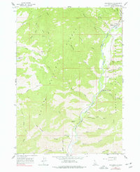
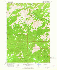
1964 Map of Featherville
USGS Topo · Published 1977About this map
Featherville occupies a narrow valley at the confluence of the Feather River and the South Fork Boise River, where the landscape reflects a transition from industrial activity to recreation. The map records evidence of heavy mining with an active Dredge and extensive Dredge Tailings flanking the riverbanks, contrasted by the presence of Paradise Hot Springs and the Dog Creek Campground further downstream. The surrounding terrain within the Boise National Forest and Sawtooth National Forest is defined by steep drainages like Roberts Gulch and Schoolhouse Gulch, which lead up toward high points such as Dog Mountain. Transport through this backcountry relies on a network of historic routes including the Wagontown Trail and Crosscut Trail, while the Diamond Bar Airstrip provides remote aerial access. This 1964 survey, photoinspected in the late 1970s, documents a moment when traditional extractive industry and emerging forest tourism shared the same Idaho canyon.
Find a feature on this map
42 named features on this map. Tap any name to fly to it.
Don’t see what you’re looking for? This feature index may not catch every label — zoom into the map to look around manually.
Map Details
Editions of this 1964 Featherville Map
3 editions found
Other maps of this area

1892 · Camas Prairie
USGS Topo · 1:125,000

1893 · Camas Prairie
USGS Topo · 1:125,000

1894 · Rocky Bar
USGS Topo · 1:125,000

1955 · Hailey
USGS Topo · 1:250,000

1959 · Hailey
USGS Topo · 1:250,000

1962 · Hailey
USGS Topo · 1:250,000
1963 · Sprout Mtn
USGS Topo · 1:24,000
1964 · Featherville
USGS Topo · 1:24,000
1964 · Trinity Mtn
USGS Topo · 1:24,000

1964 · Little Trinity Lake
USGS Topo · 1:24,000