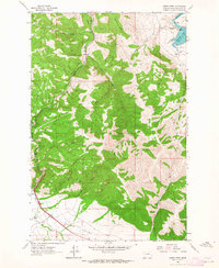
1962 Map of Sheep Creek
USGS Topo · Published 1964About this map
Little Prickly Pear Creek carves a path through this section of Lewis and Clark County, mirroring the route of the Great Northern railroad as it winds toward the Missouri R. The landscape is a study in early 1960s infrastructure and ranching, where the massive Holter Lake reservoir is serviced by a Powerplant and monitored at the Wolf Creek Gaging Station.
Find a feature on this map
31 named features on this map. Tap any name to fly to it.
Don’t see what you’re looking for? This feature index may not catch every label — zoom into the map to look around manually.
Map Details
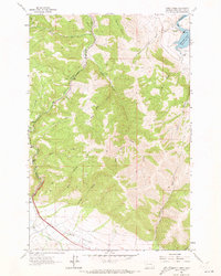
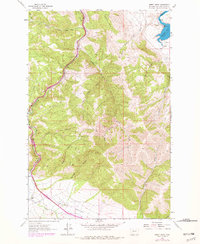
Editions of this 1962 Sheep Creek Map
3 editions found
Other maps of this area

1886 · Great Falls
USGS Topo · 1:250,000

1886 · Fort Logan
USGS Topo · 1:250,000

1889 · Helena
USGS Topo · 1:250,000

1893 · Helena
USGS Topo · 1:250,000

1899 · Helena
USGS Topo · 1:250,000

1903 · Helena
USGS Topo · 1:250,000

1943 · Hogan
USGS Topo · 1:125,000

1947 · Butte
USGS Topo · 1:250,000

1948 · White Sulphur Springs
USGS Topo · 1:250,000

1954 · Great Falls
USGS Topo · 1:250,000