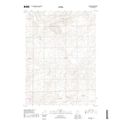
2018 Map of Sheep Creek
USGS Topo · Published 2018About this map
The Old Casper Medicine Bow Hwy cuts through this high-altitude landscape in southern Natrona County, tracing a historic transit corridor between regional centers. The terrain is defined by complex drainage systems and significant geological depressions, most notably the wide basin of Bates Hole in the southwest corner and the Mud Springs Draw to the east. These natural features dictated the early movement of people and livestock through the Wyoming interior.
Find a feature on this map
17 named features on this map. Tap any name to fly to it.
Don’t see what you’re looking for? This feature index may not catch every label — zoom into the map to look around manually.
Map Details
Editions of this 2018 Sheep Creek Map
This is the sole edition of this map. No revisions or reprints were ever made.
Other maps of this area

1955 · Casper
USGS Topo · 1:250,000

1958 · Casper
USGS Topo · 1:250,000

1959 · Bates Creek Reservoir
USGS Topo · 1:24,000

1960 · Twin Buttes
USGS Topo · 1:24,000

1960 · Crimson Dawn
USGS Topo · 1:24,000

1960 · Horse Peak
USGS Topo · 1:24,000

1960 · Sheep Creek
USGS Topo · 1:24,000

1960 · Mud Springs
USGS Topo · 1:24,000

1960 · Ice Cave Mountain
USGS Topo · 1:24,000
1960 · Freeland
USGS Topo · 1:24,000