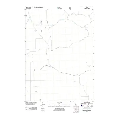
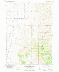
2011 Map of Sheep Creek Spring
USGS Topo · Published 2011About this map
Sheep Creek Spring and its surrounding drainage systems define this high-country landscape in Oneida County. The area is characterized by a series of significant geographic depressions and water sources, including Ireland Canyon, Wood Canyon, and the notable Bull Pasture to the east. The land is etched by seasonal and permanent flows such as Sheep Creek and Deep Creek, which dictate the local topography and have historically influenced the movement through this region.
Find a feature on this map
15 named features on this map. Tap any name to fly to it.
Don’t see what you’re looking for? This feature index may not catch every label — zoom into the map to look around manually.
Map Details
Editions of this 2011 Sheep Creek Spring Map
This is the sole edition of this map. No revisions or reprints were ever made.
Other maps of this area

1954 · Pocatello
USGS Topo · 1:250,000

1958 · Pocatello
USGS Topo · 1:250,000

1963 · Daniels
USGS Topo · 1:24,000

1968 · Ireland Springs
USGS Topo · 1:24,000

1968 · Grover Canyon
USGS Topo · 1:24,000

1968 · Daniels
USGS Topo · 1:24,000
1973 · Stone
USGS Topo · 1:24,000
1973 · Sheep Creek Spring
USGS Topo · 1:24,000
1973 · Holbrook
USGS Topo · 1:24,000
1973 · Buist
USGS Topo · 1:24,000