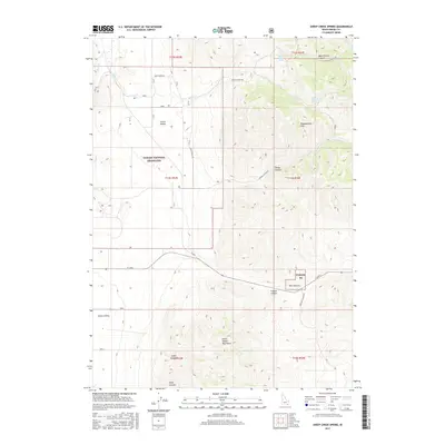
2017 Map of Sheep Creek Spring
USGS Topo · Published 2017About this map
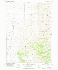
Arbon Valley and the northern reaches of the North Hansel Mountains define this section of Oneida County, Idaho. The landscape is characterized by its high-desert water sources and rugged canyons, including Wood Canyon and Ireland Canyon. The presence of Sheep Creek Spring and Wood Canyon Spring highlights the critical importance of specific water points for livestock and land management in this arid environment. Significant portions of the territory fall under the Curlew National Grassland, emphasizing a region dedicated to conservation and public range. The map illustrates a sparse but essential road network, such as Sheep Creek Rd and Woods Canyon Rd, which connect remote landmarks like Bull Pasture to the broader Curlew Valley.
Find a feature on this map
33 named features on this map. Tap any name to fly to it.
Don’t see what you’re looking for? This feature index may not catch every label — zoom into the map to look around manually.
Map Details
Editions of this 2017 Sheep Creek Spring Map
This is the sole edition of this map. No revisions or reprints were ever made.
Other maps of this area

1954 · Pocatello
USGS Topo · 1:250,000

1958 · Pocatello
USGS Topo · 1:250,000

1963 · Daniels
USGS Topo · 1:24,000

1968 · Ireland Springs
USGS Topo · 1:24,000

1968 · Grover Canyon
USGS Topo · 1:24,000

1968 · Daniels
USGS Topo · 1:24,000
1973 · Stone
USGS Topo · 1:24,000
1973 · Sheep Creek Spring
USGS Topo · 1:24,000
1973 · Holbrook
USGS Topo · 1:24,000
1973 · Buist
USGS Topo · 1:24,000