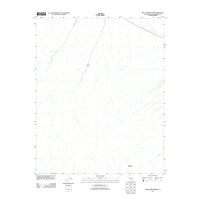
2012 Map of Sheep Creek Spring
USGS Topo · Published 2012About this map
Old Mormon Spring and Sheep Creek Spring stand as vital water markers in this arid stretch of San Bernardino County. The landscape is dominated by the northern reaches of the Avawatz Mountains, where the terrain drops sharply toward the drainage of Salt Cr. Navigation through this desert corridor is defined by Anvil Canyon and the winding path of Sheep Creek Spring Rd. This survey reflects a sparsely developed region where natural springs and rugged topography dictated the movement of early travelers and 21st-century geologists alike, preserving a sense of the primitive California desert before the expansion of more modern infrastructure.
Find a feature on this map
6 named features on this map. Tap any name to fly to it.
Don’t see what you’re looking for? This feature index may not catch every label — zoom into the map to look around manually.
Map Details
Editions of this 2012 Sheep Creek Spring Map
This is the sole edition of this map. No revisions or reprints were ever made.
Other maps of this area

1933 · Avawatz Mountains
USGS Topo · 1:250,000

1947 · Trona
USGS Topo · 1:250,000

1948 · Red Pass Lake
USGS Topo · 1:62,500

1948 · Trona
USGS Topo · 1:250,000

1948 · Avawatz Pass
USGS Topo · 1:62,500

1951 · Avawatz Pass
USGS Topo · 1:62,500

1951 · Red Pass Lake
USGS Topo · 1:62,500

1953 · Trona
USGS Topo · 1:250,000

1956 · Silurian Hills
USGS Topo · 1:62,500

1956 · Baker
USGS Topo · 1:62,500