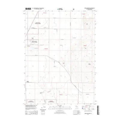
2015 Map of Sheep Mountain
USGS Topo · Published 2015About this map
Butte Valley National Forest and the Klamath National Forest dominate the high-altitude landscape of Siskiyou County on this 2015 survey. The terrain is defined by volcanic features and distinct elevations, including the prominent Sheep Mountain, Inlow Butte, and Rattlesnake Butte. Settlements such as Macdoel, Somerset, and Mount Hebron are concentrated along the western edge, where the forest meets the valley floor and modern roads like Red Rock Rd and Old State Hwy traverse the region. A notable genealogical landmark is Lakeview Cemetery, situated just south of the Macdoel township. In the central basin, Lough Lake serves as a significant hydrological marker amidst the surrounding buttes and canyons, such as Davis Canyon and Murch Butte, illustrating the dry, high-desert character of northern California's mountain interior.
Find a feature on this map
33 named features on this map. Tap any name to fly to it.
Don’t see what you’re looking for? This feature index may not catch every label — zoom into the map to look around manually.
Map Details
Editions of this 2015 Sheep Mountain Map
This is the sole edition of this map. No revisions or reprints were ever made.
Other maps of this area

1886 · Modoc Lava Bed
USGS Topo · 1:250,000

1886 · Shasta
USGS Topo · 1:250,000

1892 · Modoc Lava-Bed
USGS Topo · 1:250,000

1894 · Shasta
USGS Topo · 1:250,000

1934 · Macdoel
USGS Topo · 1:96,000

1941 · Macdoel
USGS Topo · 1:125,000

1948 · Weed
USGS Topo · 1:250,000

1950 · Weed
USGS Topo · 1:250,000

1950 · Bray
USGS Topo · 1:62,500

1950 · Dorris
USGS Topo · 1:62,500