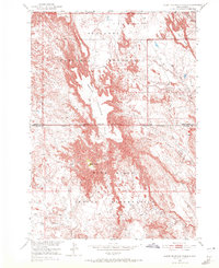
1950 Map of Sheep Mountain Table
USGS Topo · Published 1972About this map
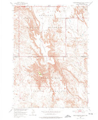
Sheep Mountain Table dominates this 1950 survey, showcasing the dramatic erosion patterns where the high plains break into the Badlands. This area marks the convergence of the Badlands National Monument and the Pine Ridge Indian Reservation, with the boundary line bisecting the intricate drainage networks of Heck Table Creek and Wind Creek. The map records a landscape defined by flat-topped remnants like Hart Table and Heck Table, which stand as islands above the deeply dissected terrain of Pine Ridge. The prominence of Cedar Butte provides a central landmark amidst the complex topography. This map is particularly valuable for documenting the mid-century jurisdictional boundaries and the natural geomorphology of the Pennington Co Shannon Co line before modern developments modified the region.
Find a feature on this map
15 named features on this map. Tap any name to fly to it.
Don’t see what you’re looking for? This feature index may not catch every label — zoom into the map to look around manually.
Map Details
Editions of this 1950 Sheep Mountain Table Map
7 editions found
Other maps of this area

1950 · Sheep Mountain Table
USGS Topo · 1:24,000

1950 · Stirk Table
USGS Topo · 1:24,000

1950 · Cuny Table East
USGS Topo · 1:24,000

1950 · Imlay SW
USGS Topo · 1:24,000

1950 · Imlay
USGS Topo · 1:24,000

1951 · Heutmacher Table
USGS Topo · 1:24,000

1954 · Scenic
USGS Topo · 1:24,000

1954 · Scenic SW
USGS Topo · 1:24,000

1955 · Hot Springs
USGS Topo · 1:250,000
1960 · Quinn Table SW
USGS Topo · 1:24,000