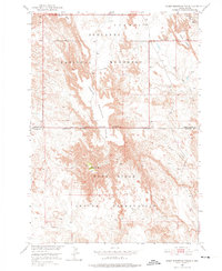
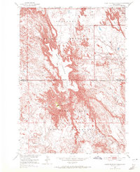
1950 Map of Sheep Mountain Table
USGS Topo · Published 1975About this map
Sheep Mountain Table rises as a prominent landform within this 1950 field survey, marking a stark division in the landscape of western South Dakota. The map captures the meeting of three major administrative boundaries: the Badlands National Monument, the Pine Ridge Indian Reservation, and the border between Pennington and Shannon Counties. This intersection creates a complex patchwork of land use and jurisdiction in a region defined by its dramatic erosion patterns.
Find a feature on this map
13 named features on this map. Tap any name to fly to it.
Don’t see what you’re looking for? This feature index may not catch every label — zoom into the map to look around manually.
Map Details
Editions of this 1950 Sheep Mountain Table Map
7 editions found
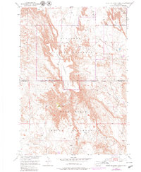
Other maps of this area

1950 · Sheep Mountain Table
USGS Topo · 1:24,000

1950 · Stirk Table
USGS Topo · 1:24,000

1950 · Cuny Table East
USGS Topo · 1:24,000

1950 · Imlay SW
USGS Topo · 1:24,000

1950 · Imlay
USGS Topo · 1:24,000

1951 · Heutmacher Table
USGS Topo · 1:24,000

1954 · Scenic
USGS Topo · 1:24,000

1954 · Scenic SW
USGS Topo · 1:24,000

1955 · Hot Springs
USGS Topo · 1:250,000
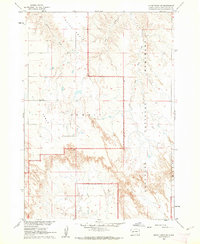
1960 · Quinn Table SW
USGS Topo · 1:24,000