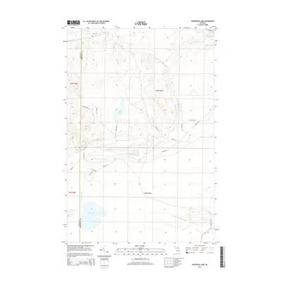
2014 Map of Sheephead Lake
USGS Topo · Published 2014About this map
The Shelldrake River and its various tributaries define the wetland-rich landscape of this part of the Upper Peninsula near the Luce and Chippewa County line. In the southern portion of the sheet, the namesake Sheephead Lake sits adjacent to Betsy Lake, marking a region dominated by glacial water bodies and seasonal drainage. To the north, the river system expands into The Widewaters, a distinctive widening of the channel.
Find a feature on this map
29 named features on this map. Tap any name to fly to it.
Don’t see what you’re looking for? This feature index may not catch every label — zoom into the map to look around manually.
Map Details
Editions of this 2014 Sheephead Lake Map
This is the sole edition of this map. No revisions or reprints were ever made.
Other maps of this area

1951 · Vermilion SE
USGS Topo · 1:24,000

1951 · Shelldrake
USGS Topo · 1:24,000

1951 · Vermilion
USGS Topo · 1:24,000

1951 · Sheephead Lake
USGS Topo · 1:24,000

1951 · Emerson
USGS Topo · 1:24,000

1951 · Timberlost
USGS Topo · 1:24,000

1951 · Shelldrake
USGS Topo · 1:62,500

1954 · Sault Sainte Marie
USGS Topo · 1:250,000

1956 · Sault Sainte Marie
USGS Topo · 1:250,000

1957 · Sault Sainte Marie
USGS Topo · 1:250,000