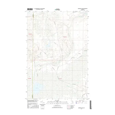
2017 Map of Sheephead Lake
USGS Topo · Published 2017About this map
The Shelldrake River and its southern branch wind through a landscape dominated by extensive wetlands and isolated lakes along the Luce and Chippewa county line. This 2017 survey reveals a wilderness area defined by complex hydrology, from the northern reach of The Widewaters to the expansive Goose Marsh in the south. The road network is primarily composed of local tracks and trails like N Maple Block Rd and W Farm Truck Trl, which navigate between prominent water bodies such as Sheephead Lake and Bear Lake. A few arterial routes like Co Rd 506 and W M 123 provide the only significant access through this interior portion of the Upper Peninsula, reflecting a region largely preserved for its natural waterways and timber resources rather than dense residential development.
Find a feature on this map
34 named features on this map. Tap any name to fly to it.
Don’t see what you’re looking for? This feature index may not catch every label — zoom into the map to look around manually.
Map Details
Editions of this 2017 Sheephead Lake Map
This is the sole edition of this map. No revisions or reprints were ever made.
Other maps of this area

1951 · Vermilion SE
USGS Topo · 1:24,000

1951 · Shelldrake
USGS Topo · 1:24,000

1951 · Vermilion
USGS Topo · 1:24,000

1951 · Sheephead Lake
USGS Topo · 1:24,000

1951 · Emerson
USGS Topo · 1:24,000

1951 · Timberlost
USGS Topo · 1:24,000

1951 · Shelldrake
USGS Topo · 1:62,500

1954 · Sault Sainte Marie
USGS Topo · 1:250,000

1956 · Sault Sainte Marie
USGS Topo · 1:250,000

1957 · Sault Sainte Marie
USGS Topo · 1:250,000