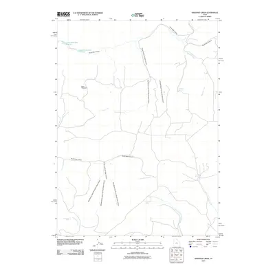
2010 Map of Sheeppen Creek
USGS Topo · Published 2010About this map
North Eden Canyon and South Eden Canyon dominate this high-desert landscape in northern Utah, where water management is central to the land's utility. The drainage systems of Currant Creek and Sheeppen Creek feed into specialized infrastructure like the Lower North Eden Reservoir and Upper North Eden Reservoir. The map reveals a network of essential water sources including Sheeppen Spring, Rabbit Spring, and Shirley Spring, which likely supported livestock and early ranching efforts in this arid region. High points such as Black Mountain watch over the complex topography of the South Fork South Eden Canyon and its many branches. This survey provides a clear look at the primitive road network, most notably Poverty Flat Rd, which connects these remote canyons and springs.
Find a feature on this map
24 named features on this map. Tap any name to fly to it.
Don’t see what you’re looking for? This feature index may not catch every label — zoom into the map to look around manually.
Map Details
Editions of this 2010 Sheeppen Creek Map
This is the sole edition of this map. No revisions or reprints were ever made.
Other maps of this area

1909 · Montpelier
USGS Topo · 1:125,000

1911 · Montpelier
USGS Topo · 1:125,000

1912 · Randolph
USGS Topo · 1:125,000

1954 · Ogden
USGS Topo · 1:250,000

1955 · Preston
USGS Topo · 1:250,000

1958 · Ogden
USGS Topo · 1:250,000

1958 · Preston
USGS Topo · 1:250,000

1960 · Ogden
USGS Topo · 1:250,000

1962 · Preston
USGS Topo · 1:250,000

1969 · Sheeppen Creek
USGS Topo · 1:24,000