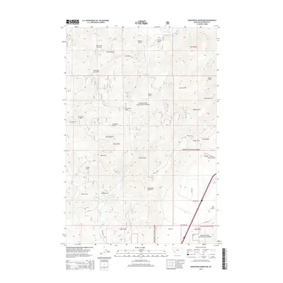
2014 Map of Sheepshead Mountain
USGS Topo · Published 2014About this map
Deerlodge National Forest dominates this high-elevation landscape in Jefferson County, where the Continental Divide separates numerous drainage systems. The map captures a complex network of named gulches, many of which carry the names of early prospectors or settlers, such as Placer Gulch, Kit Carson Gulch, and Ferdinand Gulch. These narrow valleys descend toward Lowland Creek and the Boulder River, illustrating the topographical challenges of 19th-century resource extraction. To the south, Elk Park provides a relatively level opening in the timbered terrain, while the heights of Sheepshead Mountain overlook the surrounding valleys. Water features like Maney Lake and the distinctively named Ice Pond near Bison Creek suggest the seasonal and industrial uses of the local watershed during the early 21st century.
Find a feature on this map
41 named features on this map. Tap any name to fly to it.
Don’t see what you’re looking for? This feature index may not catch every label — zoom into the map to look around manually.
Map Details
Editions of this 2014 Sheepshead Mountain Map
This is the sole edition of this map. No revisions or reprints were ever made.
Other maps of this area

1889 · Helena
USGS Topo · 1:250,000

1893 · Helena
USGS Topo · 1:250,000

1899 · Boulder
USGS Topo · 1:125,000

1899 · Helena
USGS Topo · 1:250,000

1903 · Helena
USGS Topo · 1:250,000

1947 · Butte
USGS Topo · 1:250,000

1954 · Elk Park
USGS Topo · 1:62,500

1954 · Basin
USGS Topo · 1:62,500

1958 · Butte
USGS Topo · 1:250,000

1959 · Butte North
USGS Topo · 1:62,500