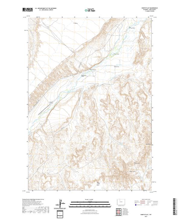
2021 Map of Sheets Flat
USGS Topo · Published 2021About this map
The Greybull River carves a central path through this Wyoming landscape, defining a valley where irrigation engineering has historically supported ranching. Complex water systems including the Keystone Ditch, Rankin Ditch, and Snyders Ditch demonstrate the essential role of water rights in the region. Near the river's bend, the Yu Ranch Airport and the settlement of Sheets Flat anchor the local community. To the north, the elevation rises sharply toward Y U Bench and Mackey Gulch, while the southern reaches are dominated by Tatman Mtn and the topographical depression of Badger Creek Basin. This survey provides a precise look at how the high plains terrain is partitioned by land use, from the managed reservoir at McGee Reservoir to the natural obstacle known as the Beaver Slide.
Find a feature on this map
29 named features on this map. Tap any name to fly to it.
Don’t see what you’re looking for? This feature index may not catch every label — zoom into the map to look around manually.
Map Details
Editions of this 2021 Sheets Flat Map
This is the sole edition of this map. No revisions or reprints were ever made.
Other maps of this area

1911 · Meeteetse
USGS Topo · 1:62,500

1911 · Oregon Basin
USGS Topo · 1:62,500

1913 · Oregon Basin
USGS Topo · 1:62,500

1913 · Meeteetse
USGS Topo · 1:62,500

1951 · Y U Bench NW
USGS Topo · 1:24,000

1951 · Y U Bench NE
USGS Topo · 1:24,000

1951 · Tatman Mountain
USGS Topo · 1:24,000

1951 · Sheets Flat
USGS Topo · 1:24,000

1951 · Wilson Spring
USGS Topo · 1:24,000

1951 · Dead Indian Hill
USGS Topo · 1:24,000