
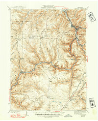
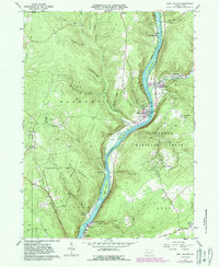
1941 Map of Sheffield
USGS Topo · Published 1941This historical map portrays the area of Sheffield in 1941, primarily covering Forest County as well as portions of Warren County. Featuring a scale of 1:62500, this map provides a highly detailed snapshot of the terrain, roads, buildings, counties, and historical landmarks in the Sheffield region at the time. Published in 1941, it is one of 2 known editions of this map due to revisions or reprints.
Find a feature on this map
86 named features on this map. Tap any name to fly to it.
Don’t see what you’re looking for? This feature index may not catch every label — zoom into the map to look around manually.
Map Details
Editions of this 1941 Sheffield Map
2 editions found
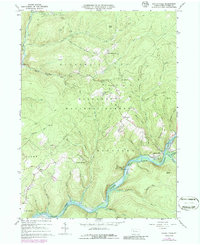
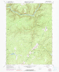
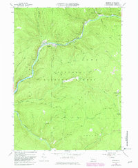
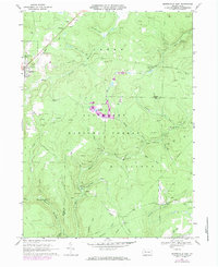
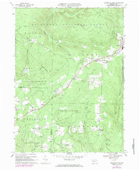
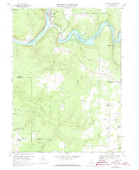
Historical Maps of Kingsley Township Through Time
11 maps found

1918 Loleta
Forest County, PA

1935 Sheffield
Forest County, PA
1941 Sheffield
Forest County, PA
1966 Kellettville
Forest County, PA
1966 Lynch
Forest County, PA
1966 Mayburg
Forest County, PA
1966 West Hickory
Forest County, PA
1967 Marienville East
Forest County, PA
1967 Marienville West
Forest County, PA
1967 Tionesta
Forest County, PA

1997 West Hickory
Forest County, PA
Featured Locations
- Sheffield Township, PA
- Cherry Grove Township, PA
- Watson Township, PA
- Balltown, Howe Township
- Hermit Spring, Cherry Grove Township