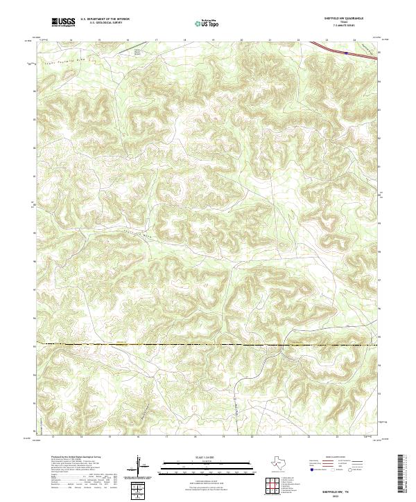
2022 Map of Sheffield NW
USGS Topo · Published 2022About this map
Seventeen Ranch Rd and Ranch Rd 1217 cut through the arid landscapes of the Edwards Plateau, where the boundary between Pecos County and Terrell County marks the transition through a region defined by extensive drainage systems. The northern reaches are characterized by the broad course of Lower Fourmile Draw and Fourmile Draw, while the center of the sheet is dominated by the meandering Sheffield Draw. These seasonal watercourses, along with named breaks like Surveyor Canyon and Bearfoot Canyon, demonstrate the complex erosional patterns typical of West Texas ranching country. The presence of the Canon Ranch Airport in the north suggests the logistical importance of private aviation in managing these remote and expansive landholdings.
Find a feature on this map
9 named features on this map. Tap any name to fly to it.
Don’t see what you’re looking for? This feature index may not catch every label — zoom into the map to look around manually.
Map Details
Editions of this 2022 Sheffield NW Map
This is the sole edition of this map. No revisions or reprints were ever made.
Other maps of this area

1929 · Sheffield
USGS Topo · 1:125,000

1929 · Independence Draw Quadrangle
USGS Topo · 1:125,000

1954 · Fort Stockton
USGS Topo · 1:250,000

1954 · Sonora
USGS Topo · 1:250,000

1958 · Sonora
USGS Topo · 1:250,000

1958 · Fort Stockton
USGS Topo · 1:250,000

1967 · Divide Country
USGS Topo · 1:24,000

1967 · Sheffield NW
USGS Topo · 1:24,000

1967 · Horsehead Canyon
USGS Topo · 1:24,000

1967 · Deer Canyon
USGS Topo · 1:24,000