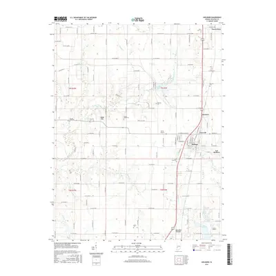
2016 Map of Shelburn
USGS Topo · Published 2016About this map
Shelburn serves as the central hub for this portion of Sullivan County, situated along a primary north-south transportation corridor that connects the smaller settlements of Curryville, Standard, and Farmersburg. The landscape is characterized by a high density of rural cemeteries and family burial grounds, including West Lawn Cem, Douglas Chapel Cem, and Chowning Cem, providing essential markers for genealogical research.
Find a feature on this map
74 named features on this map. Tap any name to fly to it.
Don’t see what you’re looking for? This feature index may not catch every label — zoom into the map to look around manually.
Map Details
Editions of this 2016 Shelburn Map
This is the sole edition of this map. No revisions or reprints were ever made.
Other maps of this area

1932 · Marshall
USGS Topo · 1:62,500

1937 · Marshall
USGS Topo · 1:62,500

1940 · Lewis
USGS Topo · 1:24,000

1940 · Pimento
USGS Topo · 1:24,000

1942 · Fairbanks
USGS Topo · 1:24,000

1942 · Shelburn
USGS Topo · 1:24,000

1942 · Hutton
USGS Topo · 1:24,000

1943 · Merom
USGS Topo · 1:24,000

1943 · Hymera
USGS Topo · 1:24,000

1943 · Sullivan
USGS Topo · 1:24,000