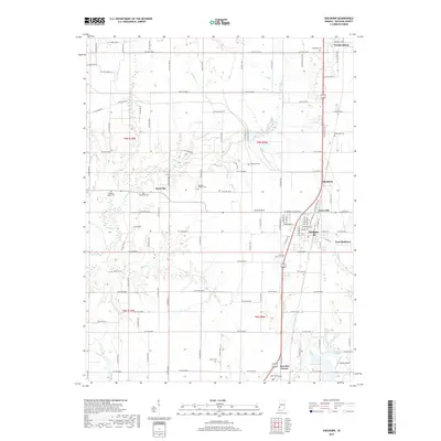
2019 Map of Shelburn
USGS Topo · Published 2019About this map
Shelburn serves as the central hub of this Sullivan County landscape, where the grid of the town sits adjacent to East Shelburn and Curryville. The surrounding area is defined by the flat expanse of Curry Prairie, an environment historically shaped by agriculture and the proximity of numerous small cemeteries that speak to the long-standing settlement of the region. These include Westlawn Cem near Farmersburg and isolated sites such as Douglas Chapel Cem and McKinney Cem.
Find a feature on this map
75 named features on this map. Tap any name to fly to it.
Don’t see what you’re looking for? This feature index may not catch every label — zoom into the map to look around manually.
Map Details
Editions of this 2019 Shelburn Map
This is the sole edition of this map. No revisions or reprints were ever made.
Other maps of this area

1932 · Marshall
USGS Topo · 1:62,500

1937 · Marshall
USGS Topo · 1:62,500

1940 · Lewis
USGS Topo · 1:24,000

1940 · Pimento
USGS Topo · 1:24,000

1942 · Fairbanks
USGS Topo · 1:24,000

1942 · Shelburn
USGS Topo · 1:24,000

1942 · Hutton
USGS Topo · 1:24,000

1943 · Merom
USGS Topo · 1:24,000

1943 · Hymera
USGS Topo · 1:24,000

1943 · Sullivan
USGS Topo · 1:24,000