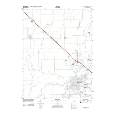
2010 Map of Shelbyville
USGS Topo · Published 2010About this map
Shelbyville serves as the focal point of this 2010 survey, showing the city's modern layout at the confluence of the Big Blue River and Little Blue River. The landscape is a mix of residential expansion and carefully managed drainage, with residential developments like Wellington Heights, Lantana Estate, and Crestmoor reaching south of the city core. Northward, the Shelbyville Municipal Airport and industrial features such as the Burnside Pit reflect the local economy, while the diagonal path of N Michigan Rd cuts across a grid of rural agricultural land. Genealogists will find a wealth of burial records preserved here, from large municipal sites like Forest Hill Cemetery to smaller, more isolated grounds including Center Cemetery and Campbell Cemetery. The surrounding countryside is dotted with small communities like Fairland and Marion, all connected by an intricate network of ditches such as William Clark Ditch and Brandywine Creek, which manage the region's flat topography.
Find a feature on this map
66 named features on this map. Tap any name to fly to it.
Don’t see what you’re looking for? This feature index may not catch every label — zoom into the map to look around manually.
Map Details
Editions of this 2010 Shelbyville Map
This is the sole edition of this map. No revisions or reprints were ever made.
Other maps of this area

1942 · Columbus
USGS Topo · 1:125,000

1948 · Lewis Creek
USGS Topo · 1:24,000

1948 · Marietta
USGS Topo · 1:24,000

1950 · Edinburg
USGS Topo · 1:62,500

1952 · Fountaintown
USGS Topo · 1:24,000

1953 · Shelbyville
USGS Topo · 1:24,000

1953 · Acton
USGS Topo · 1:24,000

1953 · Boggstown
USGS Topo · 1:24,000

1953 · Cincinnati
USGS Topo · 1:250,000

1956 · Morristown
USGS Topo · 1:24,000