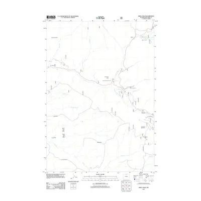
2012 Map of Shell Falls
USGS Topo · Published 2012About this map
Shell Falls and its dramatic drop along Shell Creek form the centerpiece of this Big Horn County landscape. The 2012 topography shows a region defined by recreational access and stark geological landmarks, including the high prominence of Copmans Tomb and the broad elevation of Bald Ridge. Recreational hubs are well-documented, from the Bighorn Ski Area in the northeast to a series of forest service sites like Granite Creek Campground and Cabin Creek Campground. A network of drainage systems, including Brindle Creek and White Creek, carve through the terrain, while routes like Ranger Creek Rd and Battle Creek Rd provide passage through Snowshoe Pass and across the high-altitude terrain of Snowshoe Mountain.
Find a feature on this map
32 named features on this map. Tap any name to fly to it.
Don’t see what you’re looking for? This feature index may not catch every label — zoom into the map to look around manually.
Map Details
Editions of this 2012 Shell Falls Map
This is the sole edition of this map. No revisions or reprints were ever made.
Other maps of this area

1895 · Dayton
USGS Topo · 1:125,000

1898 · Bald Mountain
USGS Topo · 1:125,000

1899 · Cloud peak
USGS Topo · 1:125,000

1901 · Cloud Peak
USGS Topo · 1:125,000

1901 · Dayton
USGS Topo · 1:125,000

1901 · Bald Mountain
USGS Topo · 1:125,000

1955 · Sheridan
USGS Topo · 1:250,000

1958 · Sheridan
USGS Topo · 1:250,000

1960 · Shell Falls
USGS Topo · 1:24,000

1960 · White Sulphur Spring
USGS Topo · 1:24,000