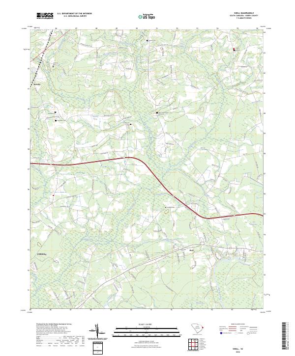
2024 Map of Shell
USGS Topo · Published 2024About this map
Kingston Lake and a labyrinth of Lowcountry wetlands dominate this Horry County landscape, where the northern reaches of Conway meet rural timber and farmland. The hydrology of the region is intricately mapped, featuring numerous named "bays" and swamps such as Rice Patch Bay, Hellhole Swamp, and Alligator Swamp that break up the sandy soils of Bear Grass Ridge. Local history is preserved through a dense network of family and community burial grounds, including the New Home Church Graveyard and Chestnut Cem, which reflect the area's deep-rooted settlement patterns. Small communities like Shell and Howells serve as focal points along a transportation network of historic routes like Hwy 19 E and Hwy 139, illustrating the transition from wilderness to agricultural homesteads in the coastal plain.
Find a feature on this map
139 named features on this map. Tap any name to fly to it.
Don’t see what you’re looking for? This feature index may not catch every label — zoom into the map to look around manually.
Map Details
Editions of this 2024 Shell Map
This is the sole edition of this map. No revisions or reprints were ever made.
Other maps of this area

1937 · Nixonville
USGS Topo · 1:48,000

1942 · Nixonville
USGS Topo · 1:62,500

1943 · Adrian
USGS Topo · 1:24,000

1943 · Conway
USGS Topo · 1:24,000

1944 · Adrian
USGS Topo · 1:31,680

1948 · Bayboro
USGS Topo · 1:24,000

1949 · Bayboro
USGS Topo · 1:24,000

1949 · Georgetown
USGS Topo · 1:250,000

1953 · Florence
USGS Topo · 1:250,000

1954 · Florence
USGS Topo · 1:250,000