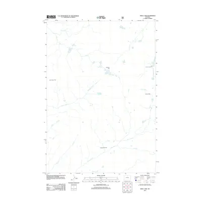
2012 Map of Shell Lake
USGS Topo · Published 2012About this map
Shell Lake and Little Shell Lake lie at the heart of this high-elevation wilderness, where the drainage networks of Shell Cr and Medicine Lodge Cr define the northern alpine landscape. This 2012 survey captures a transition point in the high country, where seasonal access is anchored by the Lake Geneva Campground and a network of passes that cross the divide between watersheds. The map reveals a cluster of alpine water bodies including Emerald Lake, Devils Lake, and Lake Golden, which sit tucked beneath the ridges connecting Edelman Pass and Dutch Oven Pass.
Find a feature on this map
28 named features on this map. Tap any name to fly to it.
Don’t see what you’re looking for? This feature index may not catch every label — zoom into the map to look around manually.
Map Details
Editions of this 2012 Shell Lake Map
This is the sole edition of this map. No revisions or reprints were ever made.
Other maps of this area

1895 · Dayton
USGS Topo · 1:125,000

1899 · Cloud peak
USGS Topo · 1:125,000

1901 · Cloud Peak
USGS Topo · 1:125,000

1901 · Dayton
USGS Topo · 1:125,000

1955 · Sheridan
USGS Topo · 1:250,000

1958 · Sheridan
USGS Topo · 1:250,000

1960 · Shell Lake
USGS Topo · 1:24,000

1960 · Lake Solitude
USGS Topo · 1:24,000

1960 · Spanish Point
USGS Topo · 1:24,000

1962 · Sheridan
USGS Topo · 1:250,000