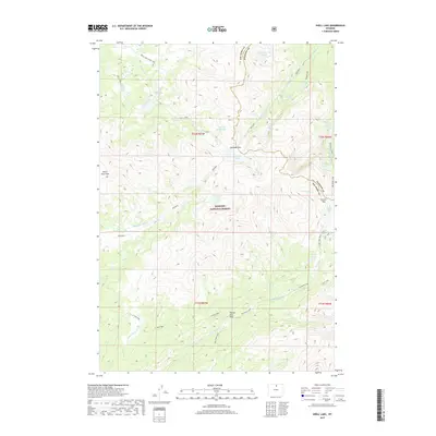
2017 Map of Shell Lake
USGS Topo · Published 2017About this map
Bighorn National Forest dominates this high-altitude landscape along the border of Big Horn and Johnson counties. The terrain is defined by a dense network of alpine lakes and dramatic elevation changes, notably at Edelman Pass and Dutch Oven Pass. Water features are abundant throughout the quadrangle, from the larger Shell Lake and Little Shell Lake in the northwest to Granite Lake and Lake Geneva in the east.
Find a feature on this map
40 named features on this map. Tap any name to fly to it.
Don’t see what you’re looking for? This feature index may not catch every label — zoom into the map to look around manually.
Map Details
Editions of this 2017 Shell Lake Map
This is the sole edition of this map. No revisions or reprints were ever made.
Other maps of this area

1895 · Dayton
USGS Topo · 1:125,000

1899 · Cloud peak
USGS Topo · 1:125,000

1901 · Cloud Peak
USGS Topo · 1:125,000

1901 · Dayton
USGS Topo · 1:125,000

1955 · Sheridan
USGS Topo · 1:250,000

1958 · Sheridan
USGS Topo · 1:250,000

1960 · Shell Lake
USGS Topo · 1:24,000

1960 · Lake Solitude
USGS Topo · 1:24,000

1960 · Spanish Point
USGS Topo · 1:24,000

1962 · Sheridan
USGS Topo · 1:250,000