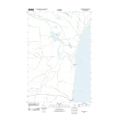
2011 Map of Shelldrake
USGS Topo · Published 2011About this map
Shelldrake sits along the shoreline of Lake Superior, where the wandering Shelldrake River meets the Great Lake. In this part of the Upper Peninsula, the landscape is defined by its water systems and timber access, with the river branching into complex areas like The Widewaters and the South Branch Shelldrake River. The settlement of Paradise anchors the southern portion of the sheet near the Paradise Cemetery and the intersection of m123, while the interior remains dominated by state forest land. Recreational footprints are evident at the Shelldrake Dam State Forest Campground and Andrus Lake State Forest Campground. A network of forest roads and trails, such as Gichigoomi Trl and Sawmill Rd, provides access to inland water bodies like McMullan Lakes and Hawkins Lake.
Find a feature on this map
48 named features on this map. Tap any name to fly to it.
Don’t see what you’re looking for? This feature index may not catch every label — zoom into the map to look around manually.
Map Details
Editions of this 2011 Shelldrake Map
This is the sole edition of this map. No revisions or reprints were ever made.
Other maps of this area

1951 · Vermilion SE
USGS Topo · 1:24,000

1951 · Shelldrake
USGS Topo · 1:24,000

1951 · Vermilion
USGS Topo · 1:24,000

1951 · Sheephead Lake
USGS Topo · 1:24,000

1951 · Emerson
USGS Topo · 1:24,000

1951 · Whitefish Point
USGS Topo · 1:24,000

1951 · Timberlost
USGS Topo · 1:24,000

1951 · Shelldrake
USGS Topo · 1:62,500

1954 · Sault Sainte Marie
USGS Topo · 1:250,000

1956 · Sault Sainte Marie
USGS Topo · 1:250,000