
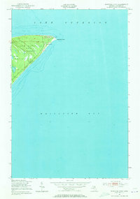
1951 Map of Whitefish Point
USGS Topo · Published 1955About this map
Whitefish Point serves as a critical maritime landmark where the expansive waters of Lake Superior meet Whitefish Bay. This 1951 survey, based on aerial photography from the previous year, captures the shoreline just as maritime navigation technology was evolving. The point is anchored by the USCG Radio Sta and Fog Warning Sta, a vital installation for Great Lakes shipping safety, accompanied by a cluster of Towers at the peninsula's tip.
Find a feature on this map
11 named features on this map. Tap any name to fly to it.
Don’t see what you’re looking for? This feature index may not catch every label — zoom into the map to look around manually.
Map Details
Editions of this 1951 Whitefish Point Map
2 editions found
Other maps of this area

1951 · Vermilion SE
USGS Topo · 1:24,000

1951 · Shelldrake
USGS Topo · 1:24,000

1951 · Shelldrake
USGS Topo · 1:62,500

1954 · Sault Sainte Marie
USGS Topo · 1:250,000

1956 · Sault Sainte Marie
USGS Topo · 1:250,000

1957 · Sault Sainte Marie
USGS Topo · 1:250,000

1958 · Sault Sainte Marie
USGS Topo · 1:250,000
1985 · Two Hearted River
USGS Topo · 1:100,000
1985 · Sault Ste. Marie North
USGS Topo · 1:100,000
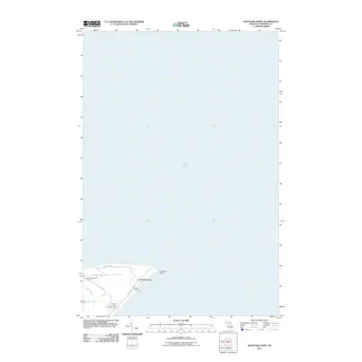
2011 · Whitefish Point
USGS Topo · 1:24,000