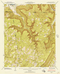
1945 Map of Shellmound
USGS Topo · Published 1945About this map
Nickajack Cove and the dramatic relief of Nickajack Cove define this tri-state borderland where Tennessee, Alabama, and Georgia converge. In 1945, the Guntersville Res shoreline reaches into the northwest corner near Shellmound, while the surrounding plateau is dotted with small rural centers like Cole City and Stephensville. The map reveals a landscape heavily influenced by topography, with settlements and transit corridors following natural gaps and hollows. Local life is anchored by family-named landmarks and institutions, such as Scealf Sch and Burnett Chapel. Toward the southeast, the seat of Trenton appears along the Southern railroad, providing a glimpse into the region's rail-dependent economy at the end of the Second World War. Notable geographic features like Castle Rock and the deep recesses of Nickajack Cave highlight the distinctive karst and sandstone geology of the Cumberland Plateau.
Find a feature on this map
76 named features on this map. Tap any name to fly to it.
Don’t see what you’re looking for? This feature index may not catch every label — zoom into the map to look around manually.
Map Details
Editions of this 1945 Shellmound Map
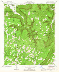
2 editions found
Other maps of this area

1886 · Ringgold
USGS Topo · 1:125,000

1886 · Stevenson
USGS Topo · 1:125,000

1888 · Chattanooga
USGS Topo · 1:125,000

1892 · Ringgold
USGS Topo · 1:125,000

1892 · Stevenson
USGS Topo · 1:125,000

1893 · Chattanooga
USGS Topo · 1:125,000

1895 · Stevenson
USGS Topo · 1:125,000

1895 · Sewanee
USGS Topo · 1:125,000

1935 · Durham
USGS Topo · 1:24,000

1936 · Trenton
USGS Topo · 1:24,000