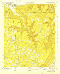
1946 Map of Shellmound
USGS Topo · Published 1947About this map
Guntersville Res (Elev 595) and the N C & S T L railroad dominate the northern landscape near Shellmound, where the borders of Tennessee, Alabama, and Georgia converge. The terrain is defined by the massive plateau of Sand Mountain and the deep incision of Nickajack Cove, which creates a natural corridor for Cole City Creek. This 1945 field examination records a network of rural mountain communities and family landmarks, from the Scealf Sch and Burnett Chapel in the north to Stephensville and the county seat at Trenton in the south. The map provides precise locations for numerous small churches like New Home Ch and Shanty Town Ch, alongside remote burial grounds such as State Line Cem and Murphy Cem. The presence of Nickajack Cave near the river indicates the unique karst topography that shaped early settlement and transportation routes through the gaps.
Find a feature on this map
76 named features on this map. Tap any name to fly to it.
Don’t see what you’re looking for? This feature index may not catch every label — zoom into the map to look around manually.
Map Details
Editions of this 1946 Shellmound Map
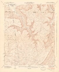
2 editions found
Other maps of this area

1886 · Ringgold
USGS Topo · 1:125,000

1886 · Stevenson
USGS Topo · 1:125,000

1888 · Chattanooga
USGS Topo · 1:125,000

1892 · Ringgold
USGS Topo · 1:125,000

1892 · Stevenson
USGS Topo · 1:125,000

1893 · Chattanooga
USGS Topo · 1:125,000

1895 · Stevenson
USGS Topo · 1:125,000

1895 · Sewanee
USGS Topo · 1:125,000

1935 · Durham
USGS Topo · 1:24,000

1936 · Trenton
USGS Topo · 1:24,000