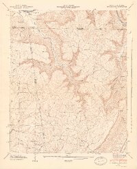
1946 Map of Shellmound
USGS Topo · Published 1947About this map
Nickajack Cave and the waters of Guntersville Res define the northern edge of this landscape where Alabama, Georgia, and Tennessee converge. The rugged topography of Sand Mountain is dissected by deep gulfs and coves, including Nickajack Cove and Tatum Gulf. This survey captures the rural character of the tri-state area just after the war, showing a network of mountain schools and country churches like Scealf Sch, New Home Ch, and Shanty Town Ch.
Find a feature on this map
79 named features on this map. Tap any name to fly to it.
Don’t see what you’re looking for? This feature index may not catch every label — zoom into the map to look around manually.
Map Details
Editions of this 1946 Shellmound Map
2 editions found
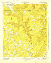
Other maps of this area

1886 · Ringgold
USGS Topo · 1:125,000

1886 · Stevenson
USGS Topo · 1:125,000

1888 · Chattanooga
USGS Topo · 1:125,000

1892 · Ringgold
USGS Topo · 1:125,000

1892 · Stevenson
USGS Topo · 1:125,000

1893 · Chattanooga
USGS Topo · 1:125,000

1895 · Stevenson
USGS Topo · 1:125,000

1895 · Sewanee
USGS Topo · 1:125,000

1935 · Durham
USGS Topo · 1:24,000

1936 · Trenton
USGS Topo · 1:24,000