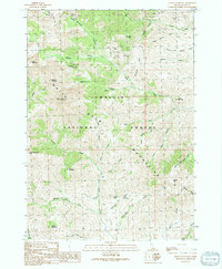
1991 Map of Shelly Mountain
USGS Topo · Published 1991About this map
Mining operations and high mountain peaks dominate this 1991 provisional survey of the White Knob Mountains within the Challis National Forest. The map documents a landscape defined by its mineral history, specifically at the Mammoth location near the head of Stewart Canyon. Numerous Mine Shafts and Adits are scattered throughout the northern reaches, including the identified Champion Mine and several Prospects along Cliff Creek and Horn Draw.
Find a feature on this map
50 named features on this map. Tap any name to fly to it.
Don’t see what you’re looking for? This feature index may not catch every label — zoom into the map to look around manually.
Map Details
Editions of this 1991 Shelly Mountain Map
This is the sole edition of this map. No revisions or reprints were ever made.
Other maps of this area

1935 · MacKay
USGS Topo · 1:96,000

1940 · Mackay
USGS Topo · 1:62,500

1955 · Idaho Falls
USGS Topo · 1:250,000

1958 · Idaho Falls
USGS Topo · 1:250,000

1960 · Muldoon Canyon
USGS Topo · 1:62,500

1960 · Grouse
USGS Topo · 1:62,500

1960 · Mackay
USGS Topo · 1:62,500

1960 · Copper Basin
USGS Topo · 1:62,500
1988 · Arco
USGS Topo · 1:100,000
1991 · Mackay
USGS Topo · 1:24,000