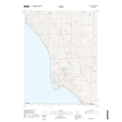
2018 Map of Shelter Cove
USGS Topo · Published 2018About this map
Shelter Cove serves as the focal point of this coastal survey, where the rugged meeting of land and sea is defined by Point Delgada and the nearby Shelter Cove Airport. The topography is exceptionally steep, transitioning rapidly from the Pacific Ocean shoreline to high ridges and peaks. To the north, Horse Mtn Ridge and Saddle Mtn overlook a drainage network that includes Gitchell Cr and Buck Cr. The interior is marked by the winding Paradise Royale Loop and a series of prominent summits like Queen Peak and Chamisal Mtn.
Find a feature on this map
76 named features on this map. Tap any name to fly to it.
Don’t see what you’re looking for? This feature index may not catch every label — zoom into the map to look around manually.
Map Details
Editions of this 2018 Shelter Cove Map
This is the sole edition of this map. No revisions or reprints were ever made.
Other maps of this area

1920 · Pt. Delagda
USGS Topo · 1:62,500

1921 · Briceland
USGS Topo · 1:62,500

1949 · Eureka
USGS Topo · 1:250,000

1949 · Point Delgada
USGS Topo · 1:62,500

1949 · Garberville
USGS Topo · 1:62,500

1950 · Piercy
USGS Topo · 1:62,500

1951 · Garberville
USGS Topo · 1:62,500

1951 · Point Delgada
USGS Topo · 1:62,500

1957 · Ukiah
USGS Topo · 1:250,000

1958 · Redding
USGS Topo · 1:250,000