
1956 Map of Shenandoah Peak
USGS Topo · Published 1957About this map
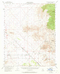
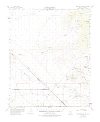
Mining operations dominate the rugged slopes of the Spring Mountains in this mid-century survey of the Nevada-California border. The eastern half of the map reveals a concentrated industrial landscape centered around Potosi Mtn, featuring a dense network of historical claims including the Potosi Mine, Shenandoah Mine, and Bonanza Mine. These sites are linked by rugged washes like Keystone Wash and Singer Wash, reflecting a period of intense geological exploration and resource extraction.
Find a feature on this map
46 named features on this map. Tap any name to fly to it.
Don’t see what you’re looking for? This feature index may not catch every label — zoom into the map to look around manually.
Map Details
Editions of this 1956 Shenandoah Peak Map
3 editions found
Other maps of this area

1907 · Las Vegas
USGS Topo · 1:250,000

1908 · Las Vegas
USGS Topo · 1:250,000

1910 · Ivanpah
USGS Topo · 1:250,000

1912 · Ivanpah
USGS Topo · 1:250,000

1942 · Ivanpah
USGS Topo · 1:250,000

1947 · Kingman
USGS Topo · 1:250,000

1948 · Kingman
USGS Topo · 1:250,000

1952 · Blue Diamond
USGS Topo · 1:62,500

1954 · Las Vegas
USGS Topo · 1:250,000

1954 · Kingman
USGS Topo · 1:250,000